
The Pacific Crest Trail
A Photo Blog of the PCT


Prelude
In my mind, the hiking community is divided into those who have hiked the PCT and those who want to. It is a two-foot wide, 2,650 mile long trail along the west of the USA and is widely regarded as the world’s premier long distance hiking trail.
Like many PCT hopefuls my partner and I had been planning to hike this trail for many years. We had permits for 2020, had quit our jobs, moved out, booked flights etc. We had put our lives on hold. But of course a week before we were due to fly out, the borders went up and the planes stayed down. We also had permits for 2023 but Waddle had a foot injury. We hiked around Australia and hiked Te Araroa in New Zealand instead. But we were always going to hike the PCT.
In 2024 we got permits a third time and were almost surprised when we found ourselves at Campo without incident. I don’t think it really hit me that we were on the PCT until we reached Canada some 4 1/2 months later.
In many ways it felt just like any other trail. But slowly, quietly, and surely this trail seeps into your skin and bones. A walk becomes a lifestyle. The wilderness becomes your home. Your friends become your family. Civilization becomes an unfortunate necessity — but it's where the food comes from.
We had massively high expectations, I knew I had romanticised the trail from hearing past thru-hikers talk about it and watching trail videos. It blew our expectations out of the water, there is nothing that comes close to experiencing it for yourself.
I hiked 2,600 miles on the Pacific Crest Trail (PCT) in 2024 with my partner Waddle. I go by “Bait” on trail. A trail name I acquired on Te Araroa after being bitten by a long fin eel. I carried a full frame camera for the length of the trail and the photos below are a selection of my favourite
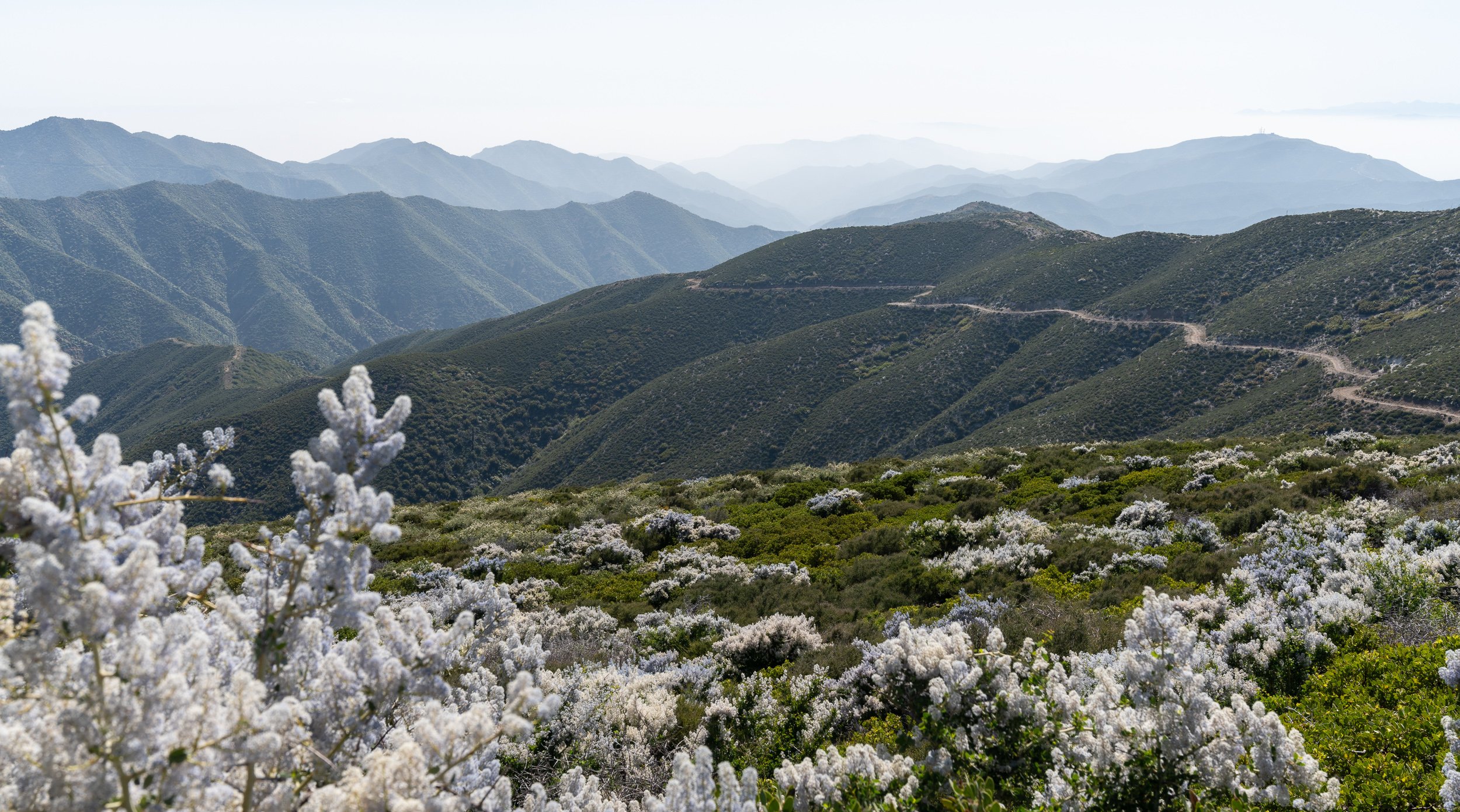
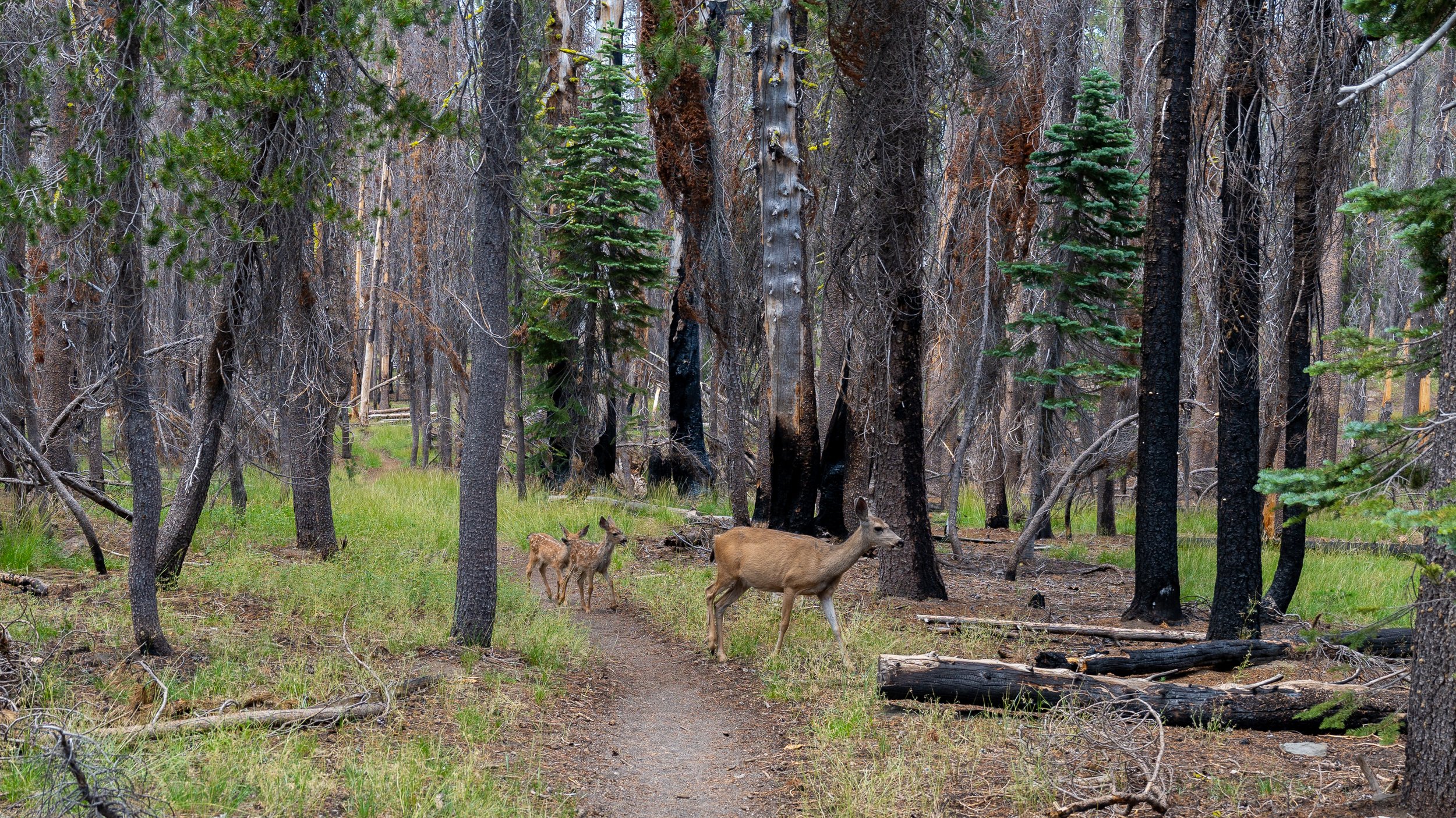
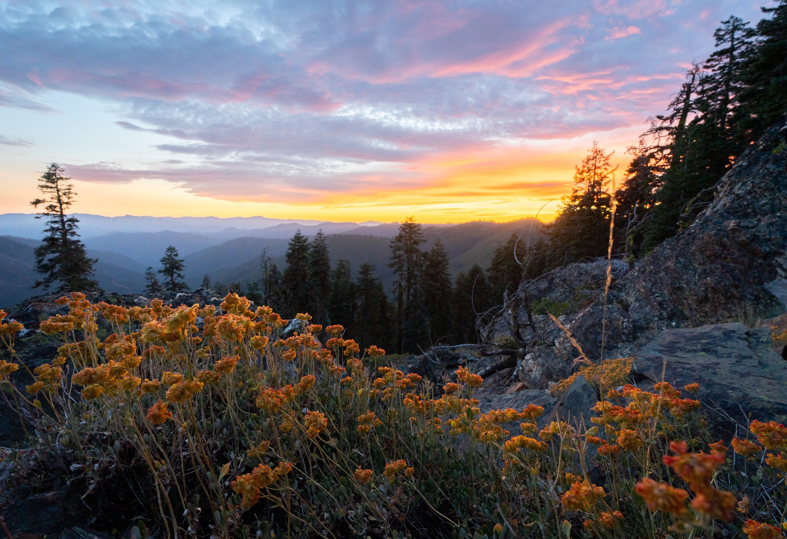
Southern California

The last year of Scout and Frodo hosting. Thanks for everything!!
Where it all starts

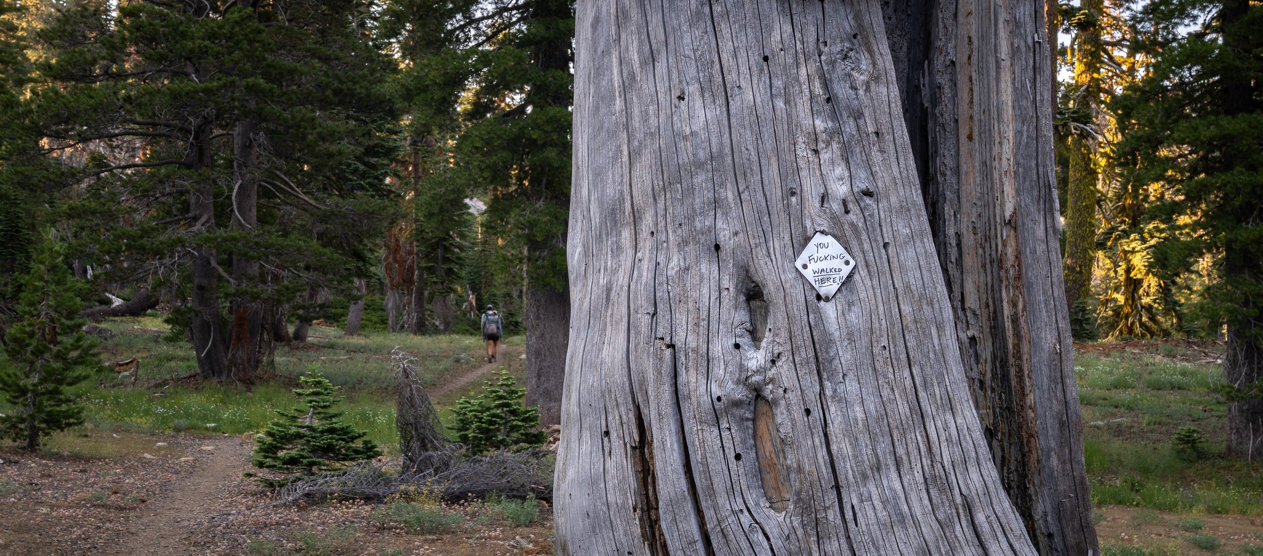
You didn't have to say it like that...

This California Sister finally chilled out and spread its wings long enough for me take a photo
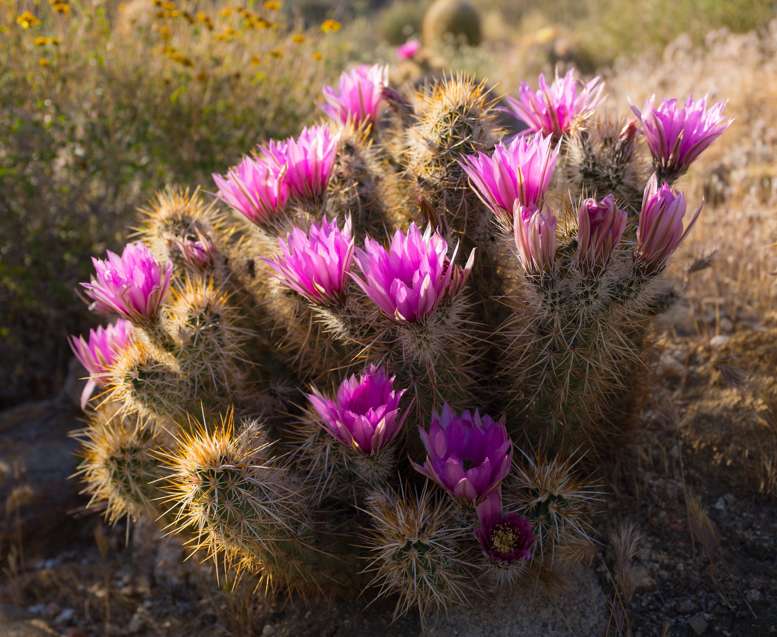
It was crazy to be walking where cacti are native and abundant. They all started flowering as we neared Julian.


Climbing out of Scissors Crossing was the best cacti display on trail. We waited for late afternoon to avoid the heat. But this section was so beautiful in the evening, my camera slowed us down a lot.


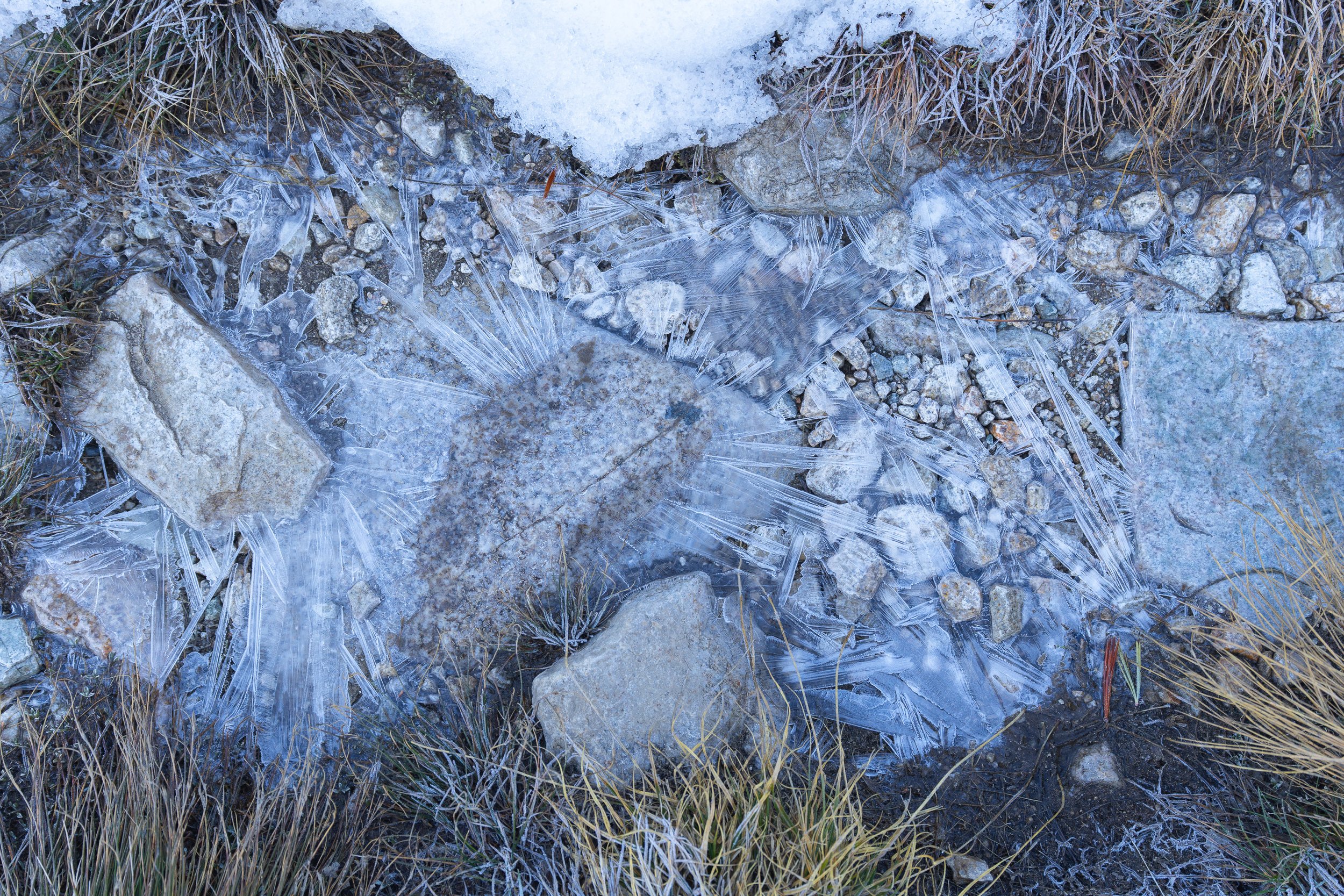
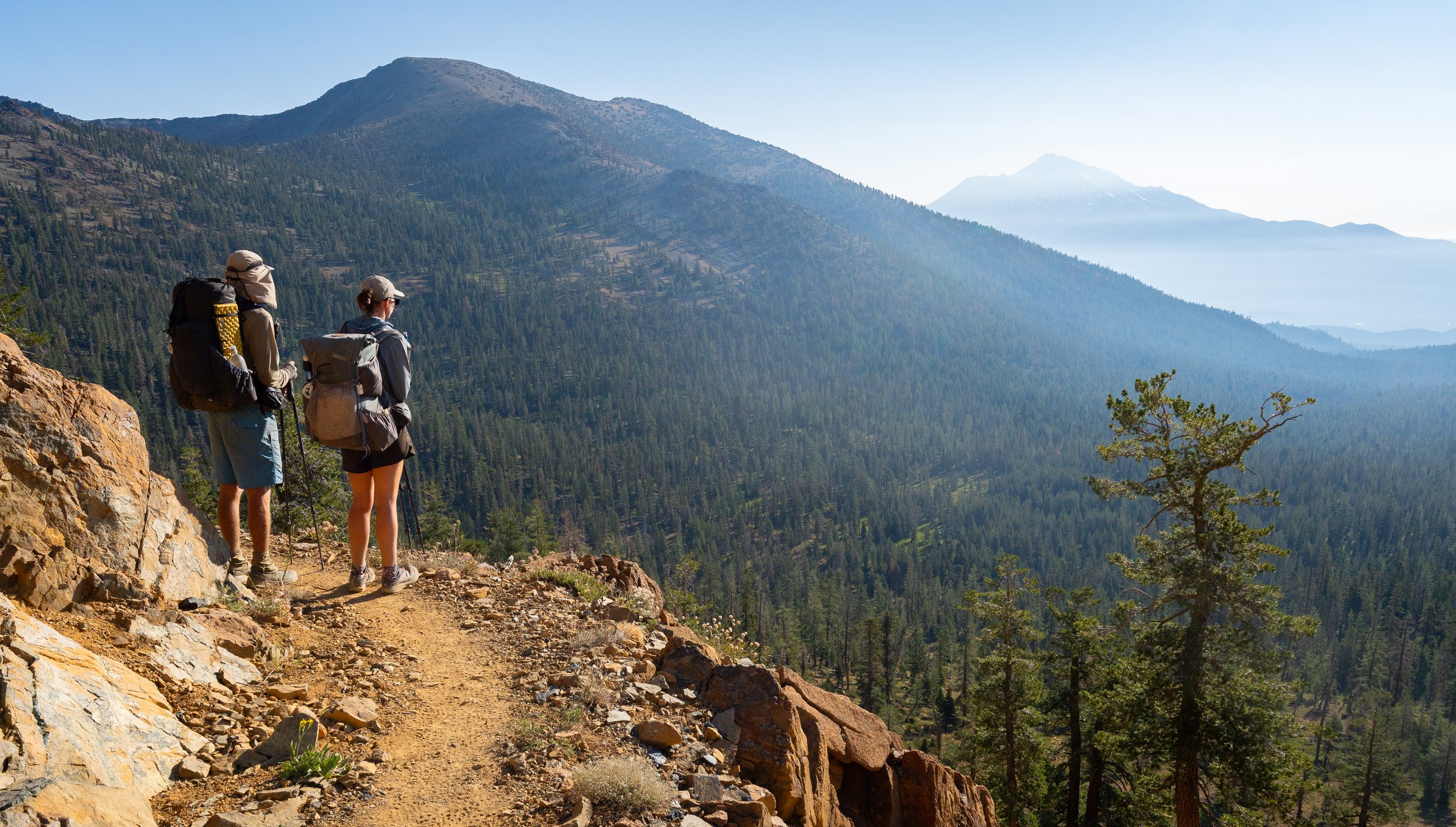
Snow at San Jacinto! A novelty for us Australians

Heading down San Jacinto. The first alpine section was so magical. It was snowy, cold, there was water, pine trees, chipmunks and alpine flowers. The opposite of the trail thus far. A taste of things to come but it was back down to the desert floor for now (2,600 m down).


Looking down to Mesa Wind Farm. Heading into Mission Creek. A section that had many hikers skipping ahead already due to a Norovirus outbreak and a bit of trail damage.

Saying goodbye to San Jacinto.


Again a stark change in geology around Cajon Pass where sandstone formations jut abruptly out of the desert floor.

A memorial to John Hachey, a long time maintainer of the trail.

From the frying pan of Cajon Pass to the freezer of Baden-Powell.


Around LA there was sea mist lasting all morning.

Waiting for washing in Frogg Toggs while eating ice cream and drinking beer. This is the life


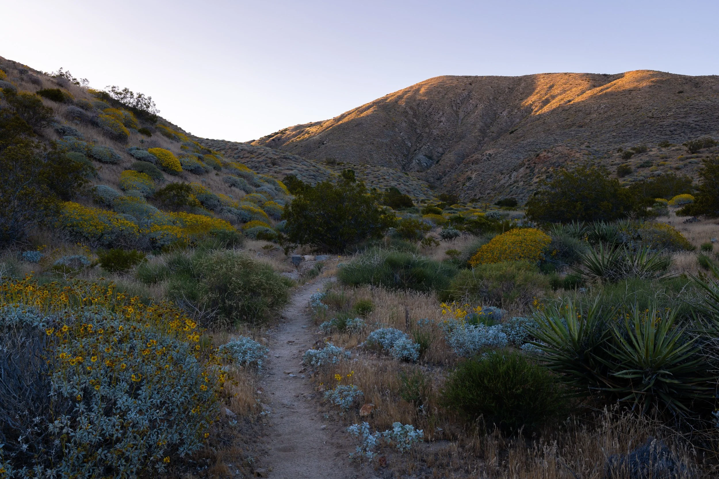
The infamous LA Aqueduct. Dipping our toes in the Mojave.

The Joshua trees were everywhere and I had been looking forward to photographing them.


Waddle and Easy Access hiking down the trail after a very early wake up.

Some hikers still sleeping at Cottonwood Creek after hiking late into the night.

Sand, sun and wind. Lots of wind.

A resupply from Tehachapi, bound for Kennedy Meadows. Sadly instant refried beans were getting harder to find.

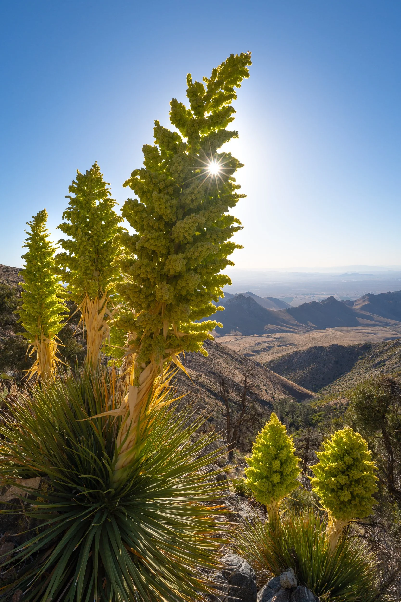
Pine trees, a sign that the we were nearing the end of the desert.

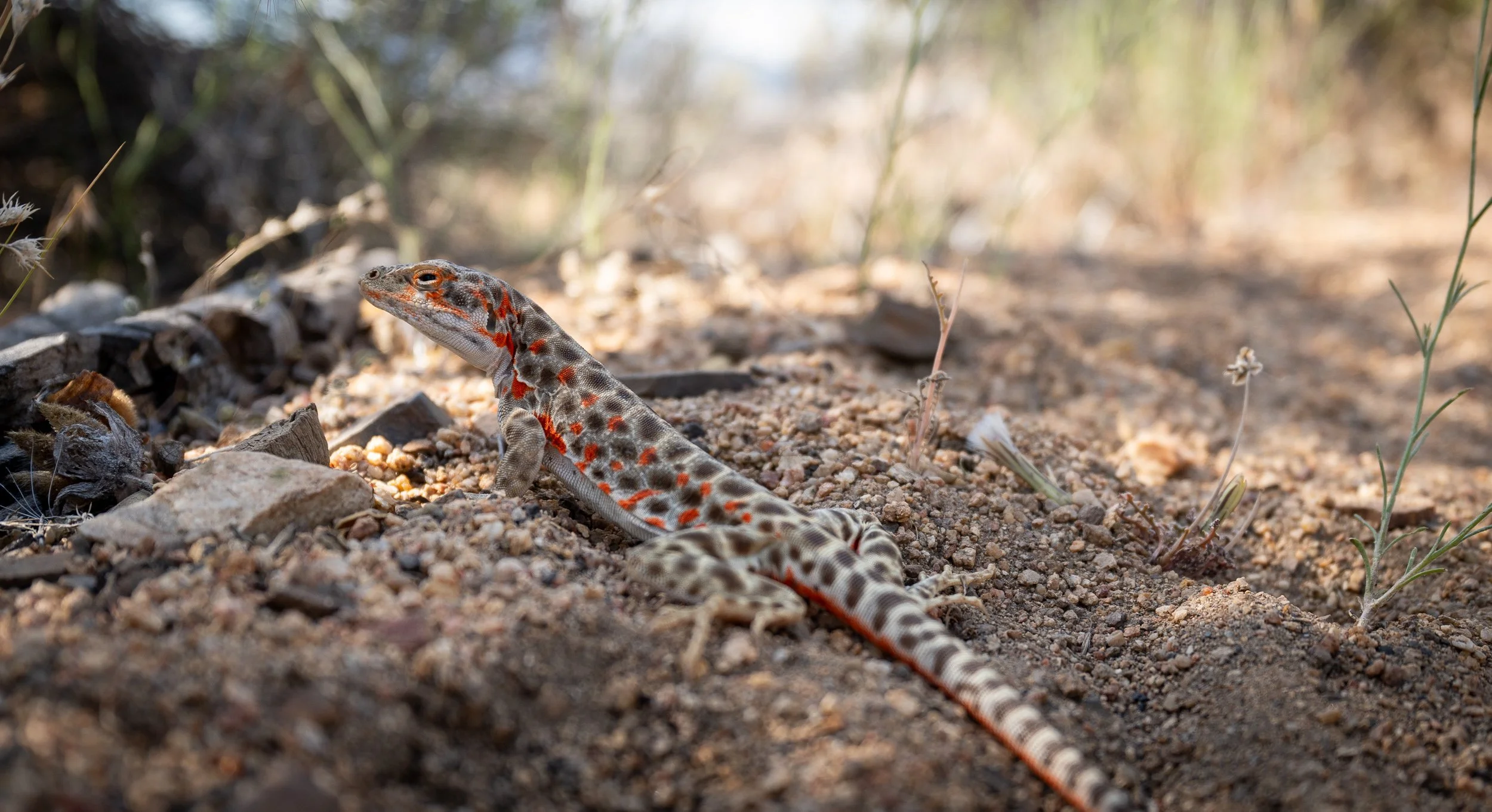
The lizards were out in force as heat waves rolled by. The desert had been kind, but was sending us off with a reminder of just how lucky we’d been with the mild temperatures.

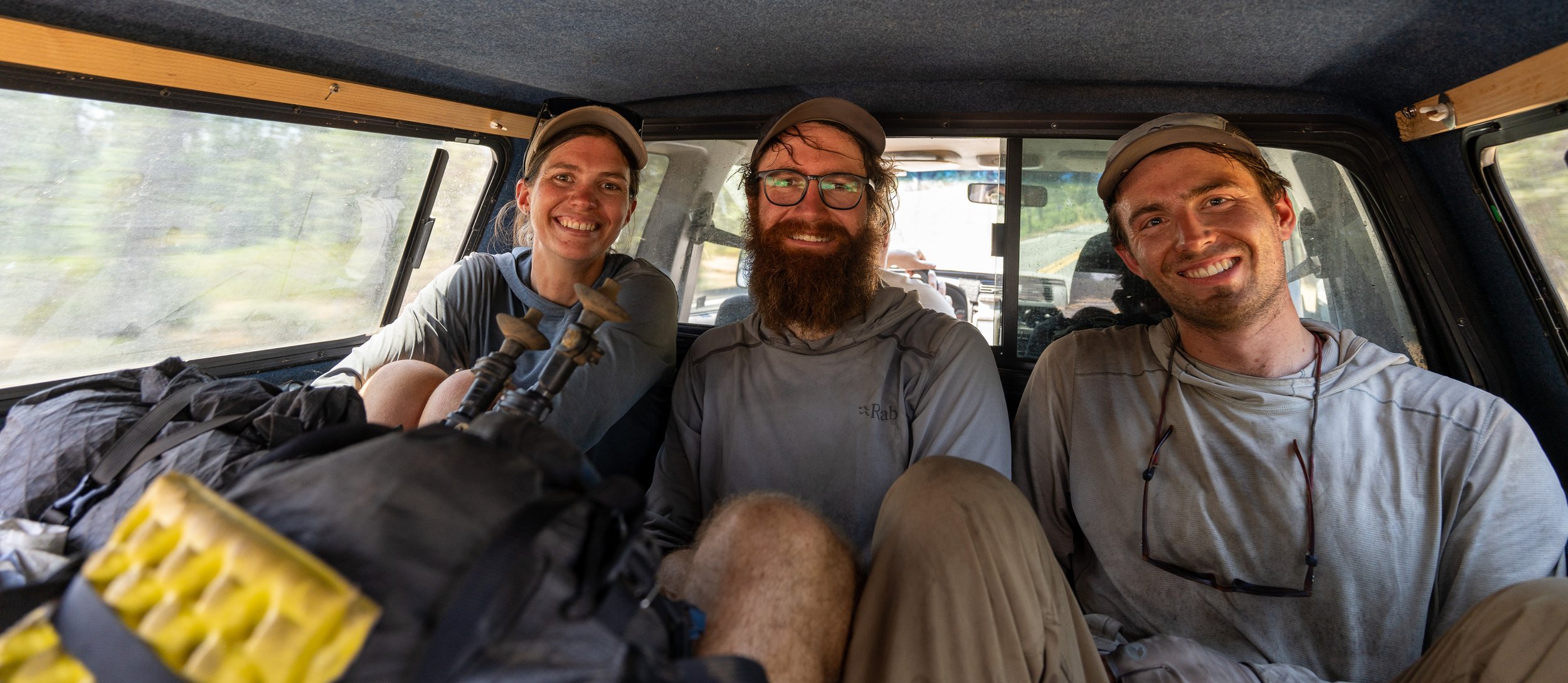
Fellow Aussies and fellow dirt dwellers


Our last night in the desert. Now professional desert rats and hiker trash.

700 miles of desert officially done. Next stop mountains.

KMS, a place of rest.

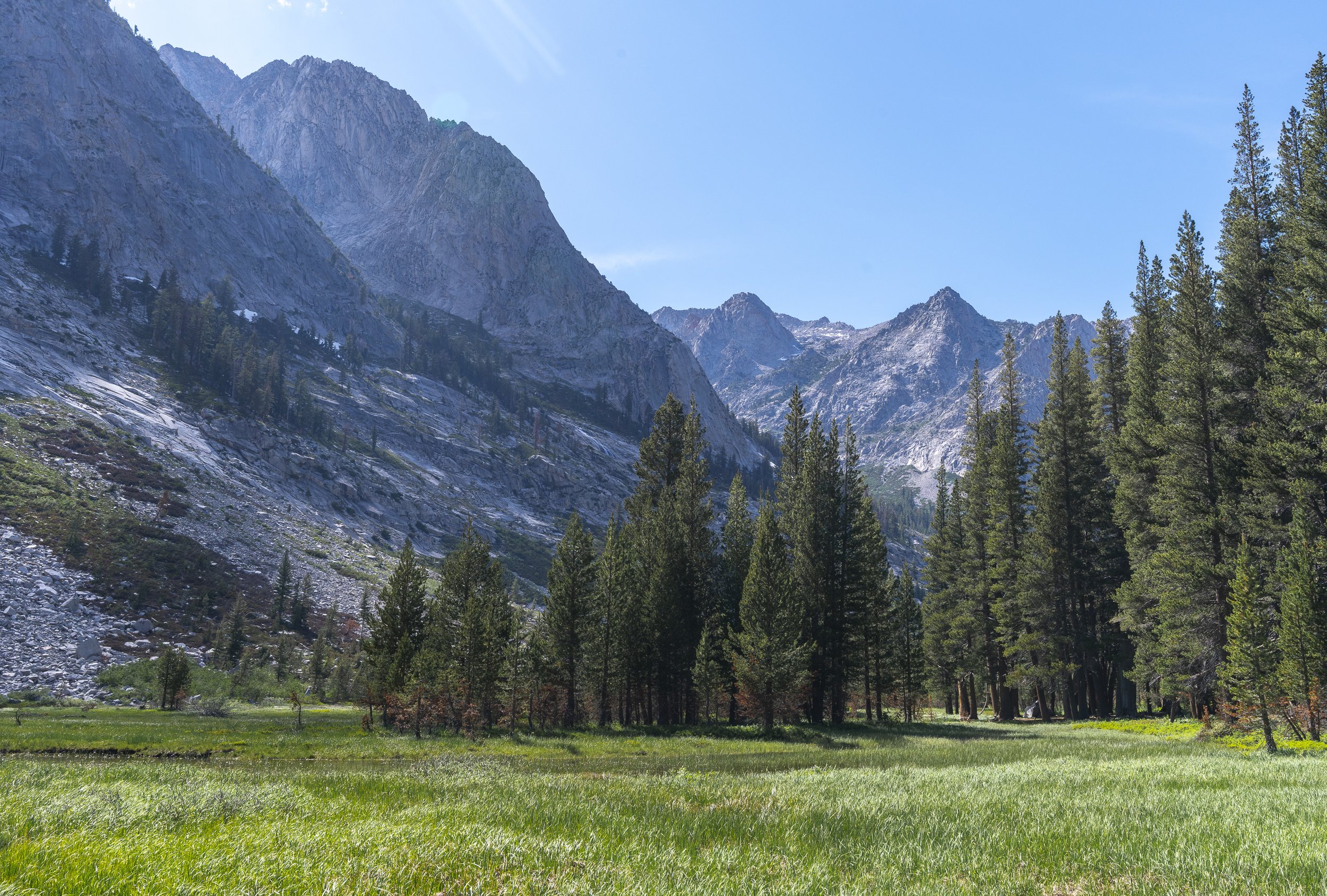
Sierra Nevada
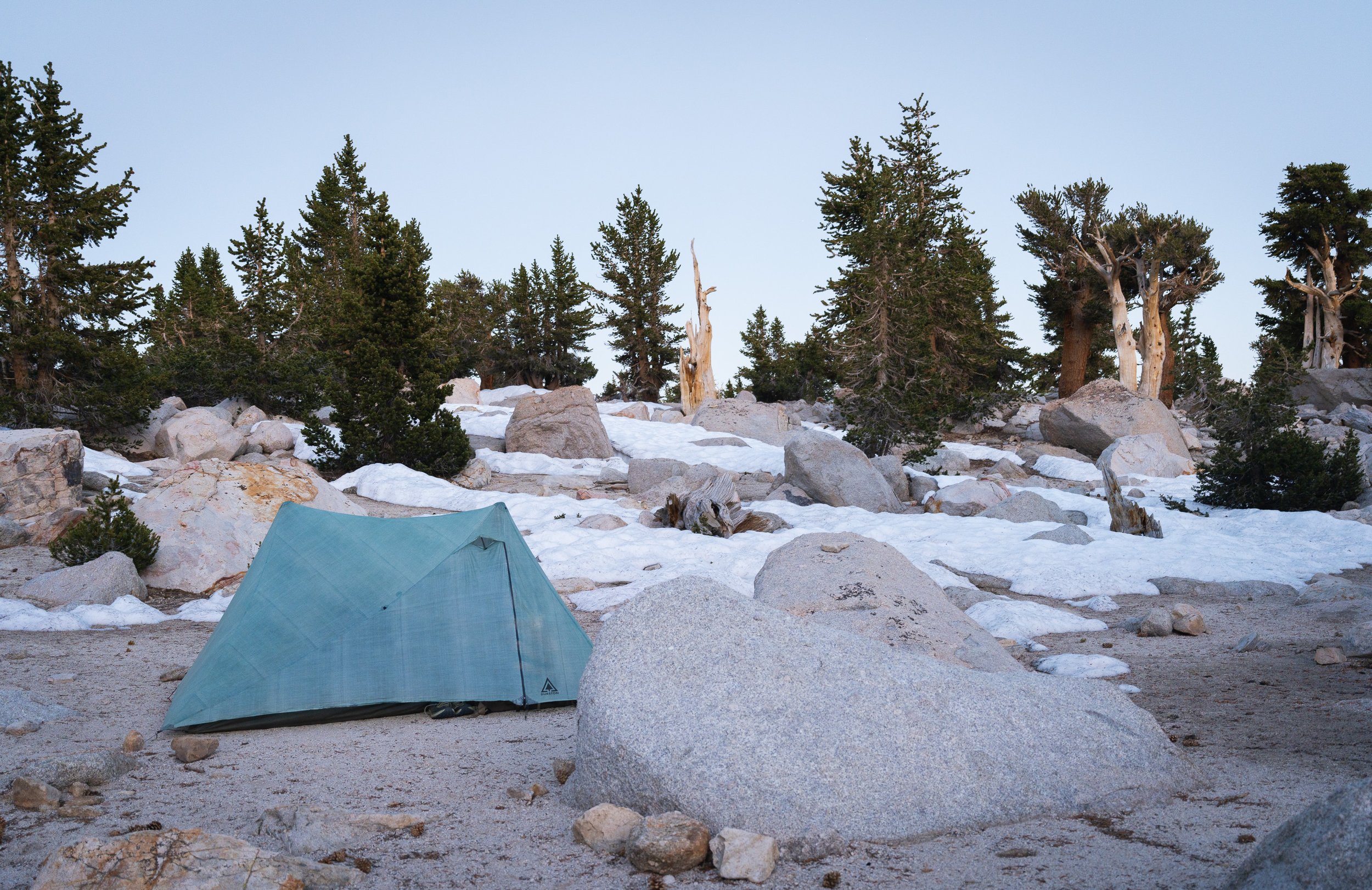
It’s crazy what a difference a few days can make. We’d gone from heat wave (100F+ days) to camping with snow and swimming in freezing water at Chicken Spring Lake.

We are not in the desert anymore
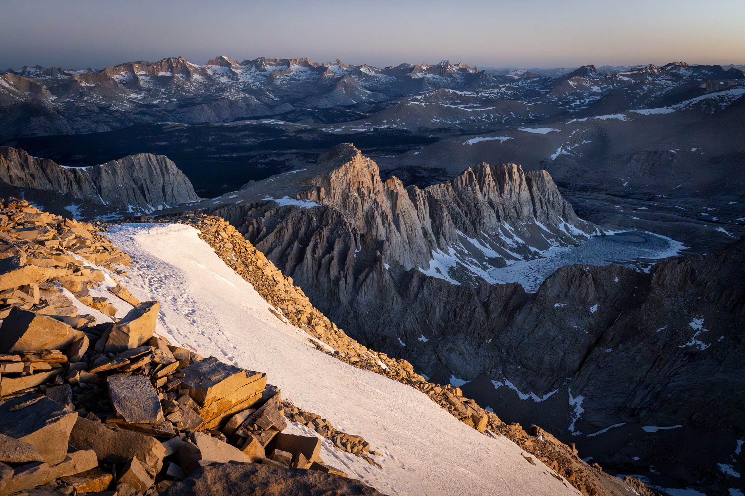
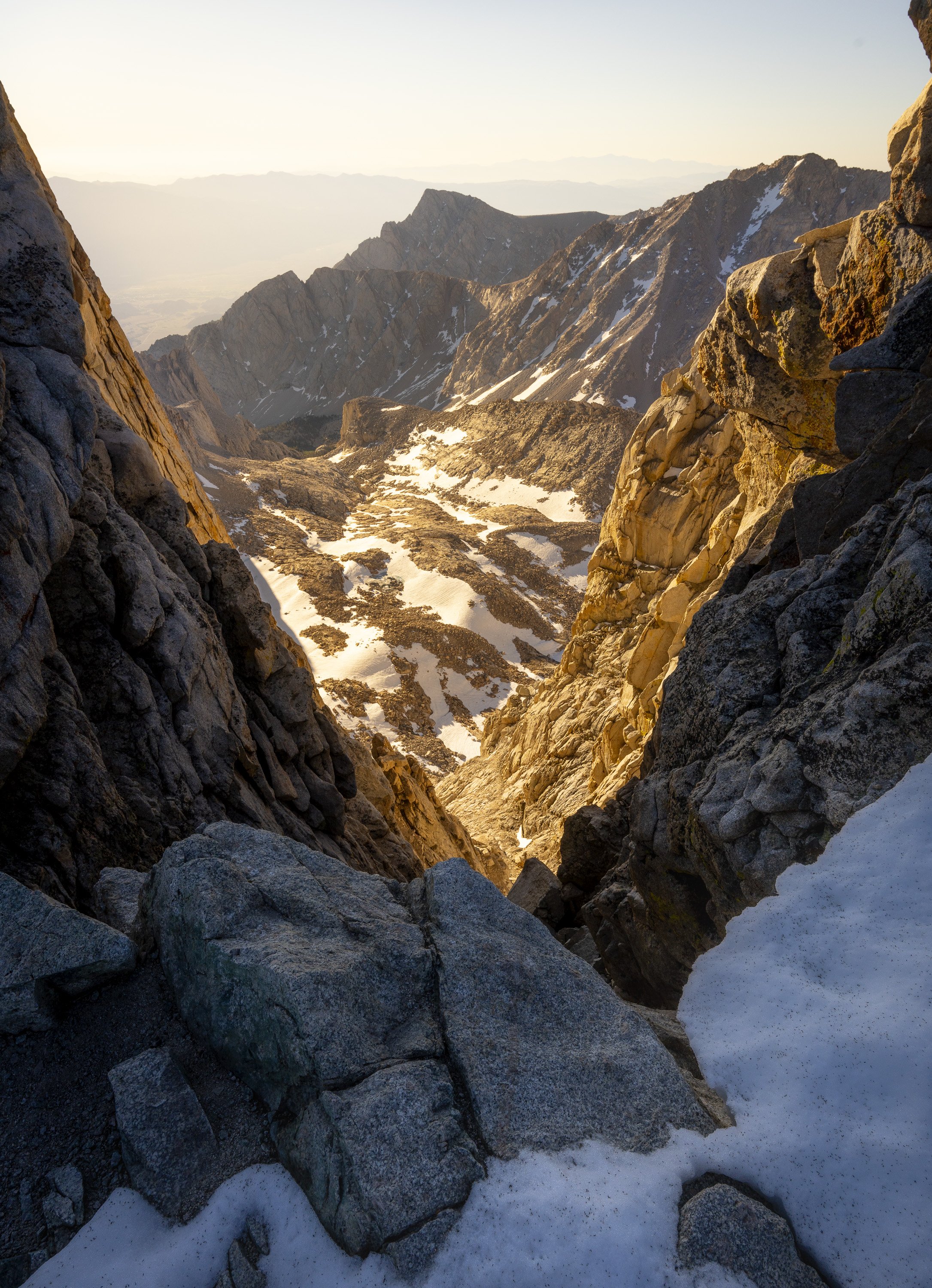
The sunrise at Mt Whitney was so so worth it. We could see the Sierra stretch before us over the horizon. Yes we were going that way.
Frogg Togg promotional photo shoot.


Tour Guide leading the tour over Forester Pass. Little did he know the tour would continue till Canada.


Just stoked to be here.

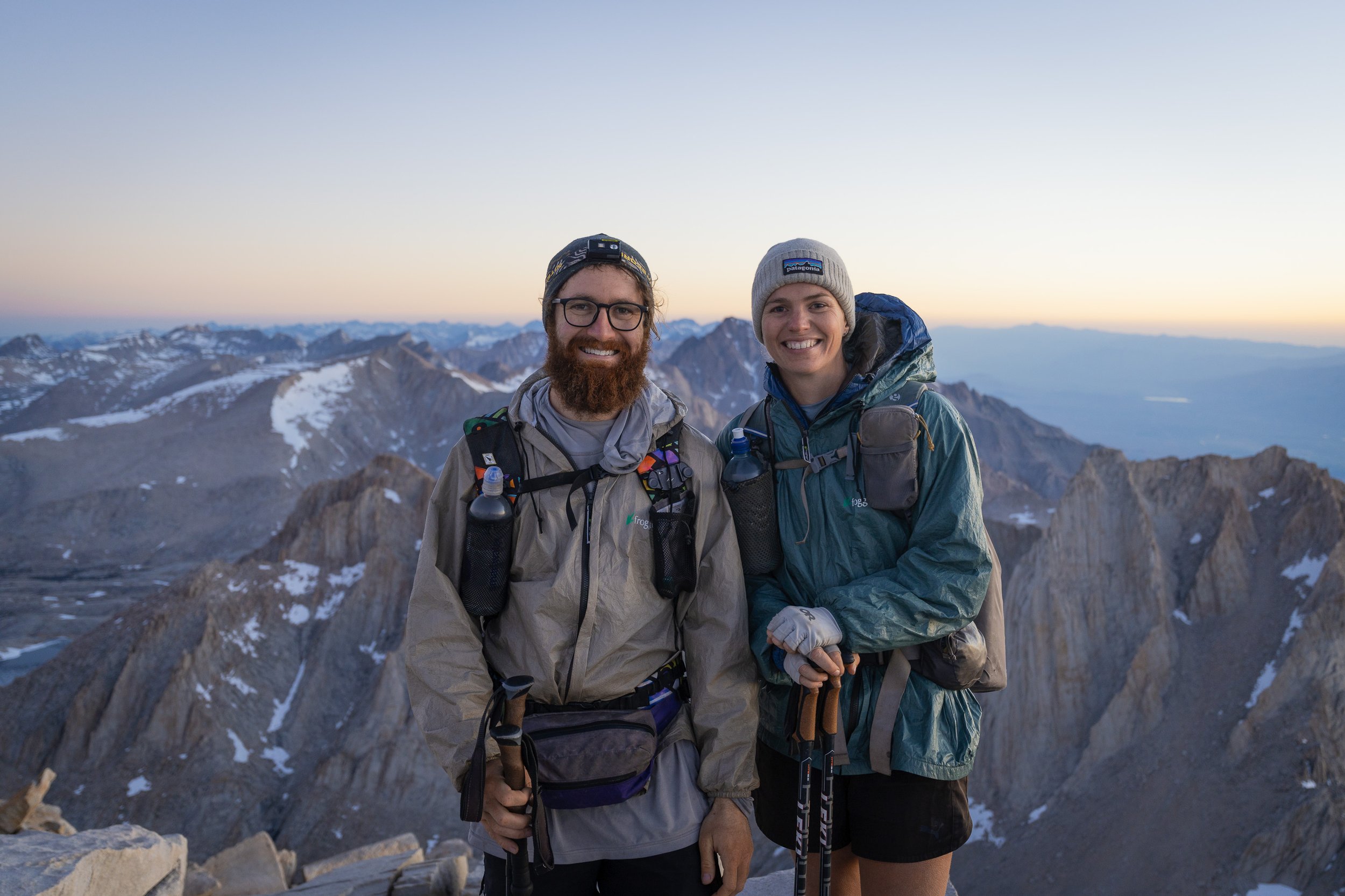
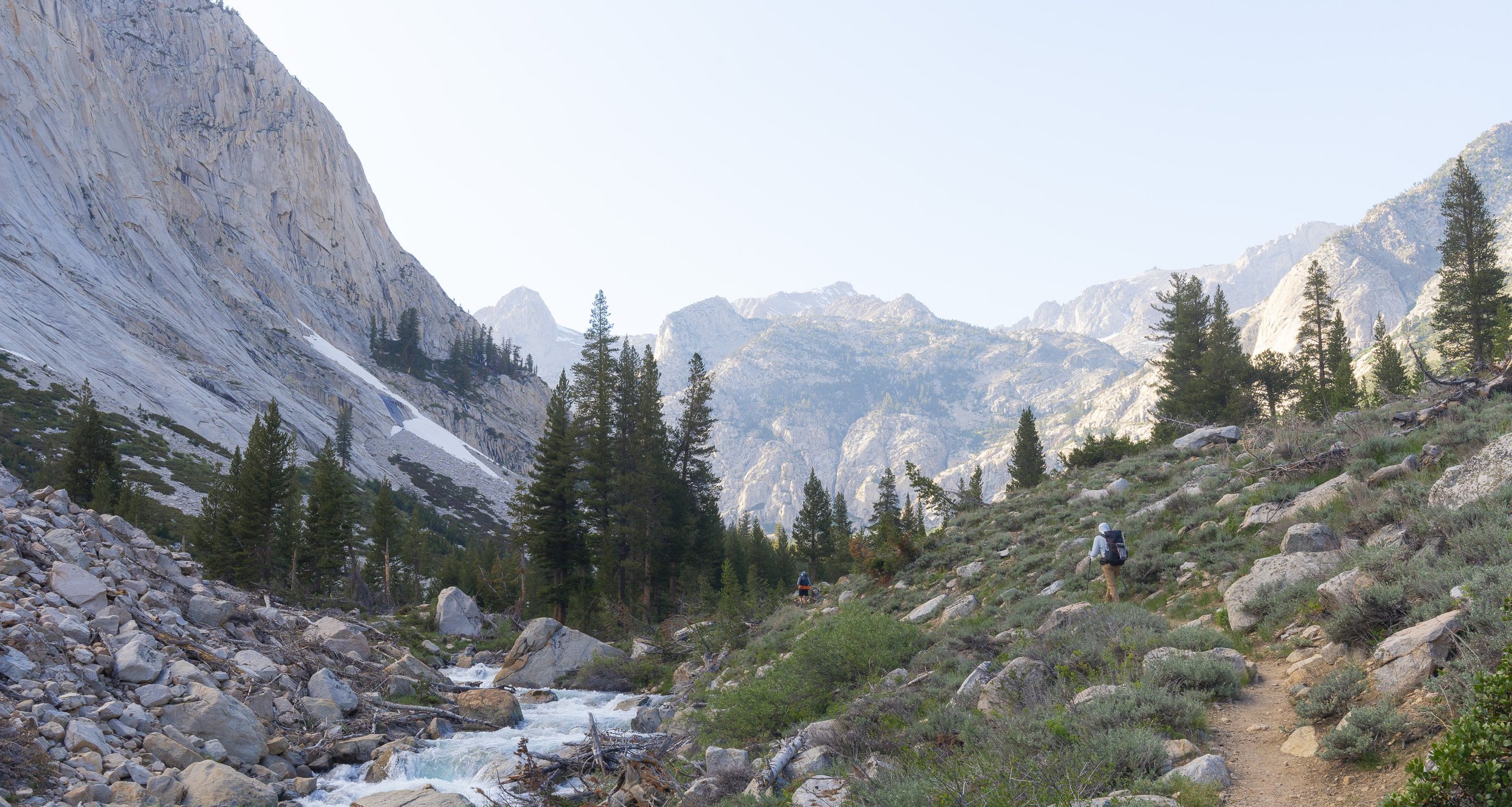
After summiting Whitney the day before we climbed over Forester Pass in the morning, raced a storm over Kearsarge Pass and hitched into Bishop in the one day. We were wiped.
Heading back to the PCT after stocking up on chips


Glen Pass
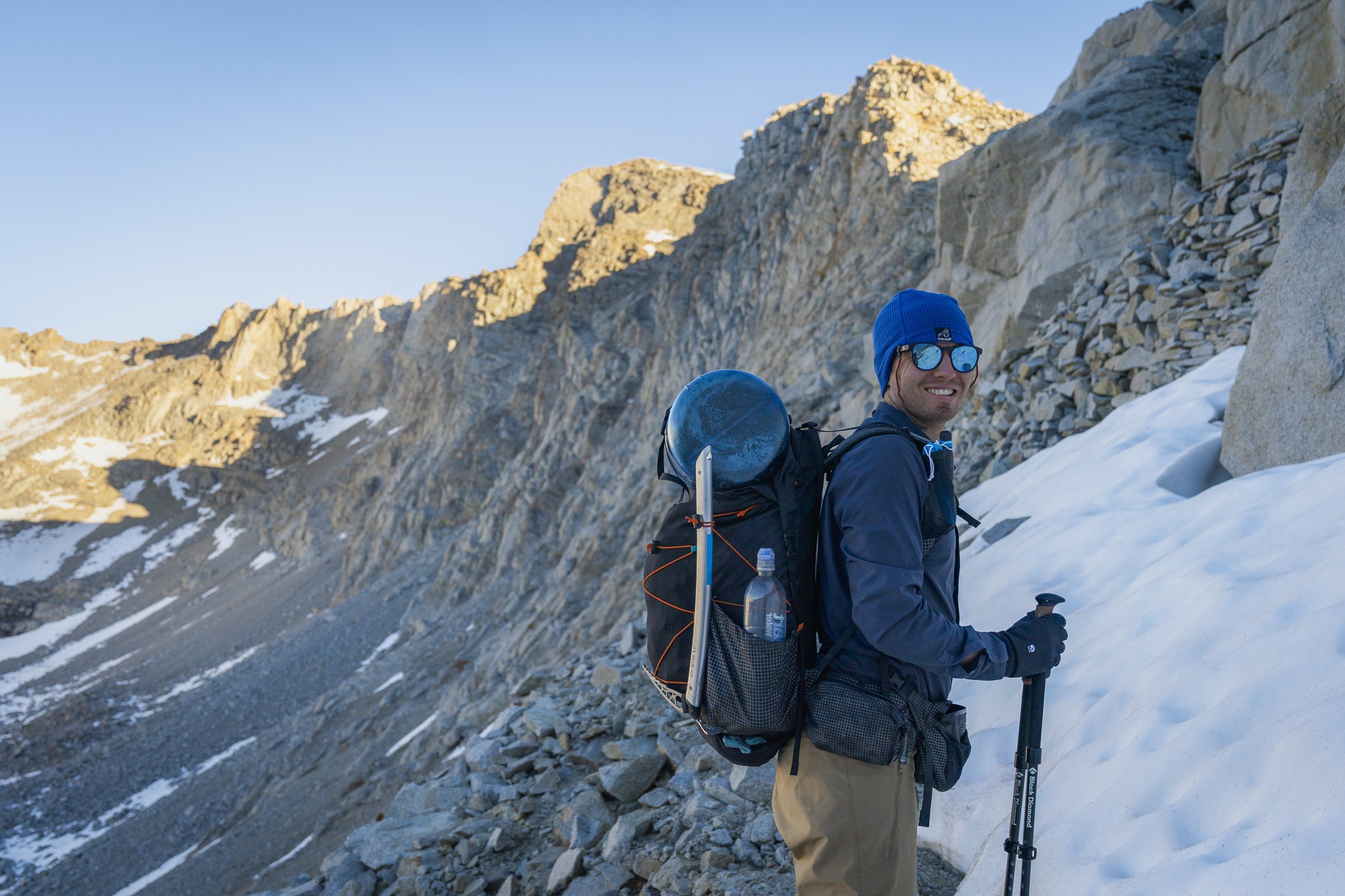
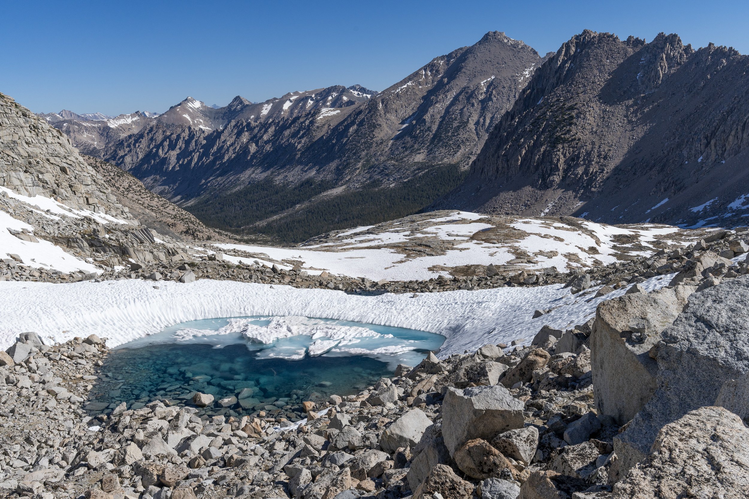
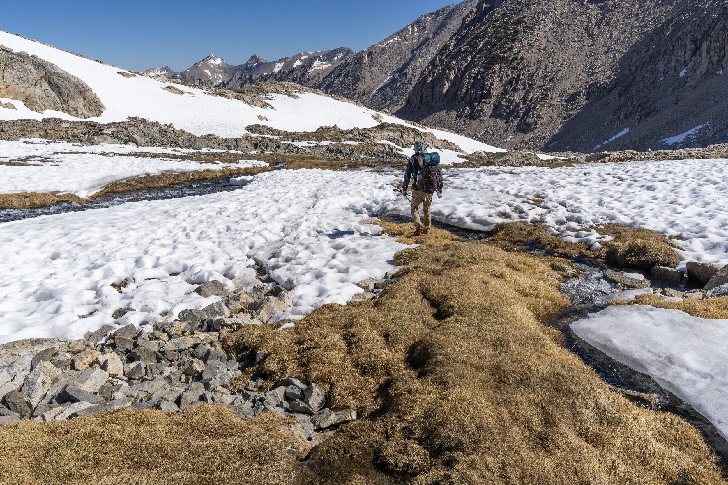
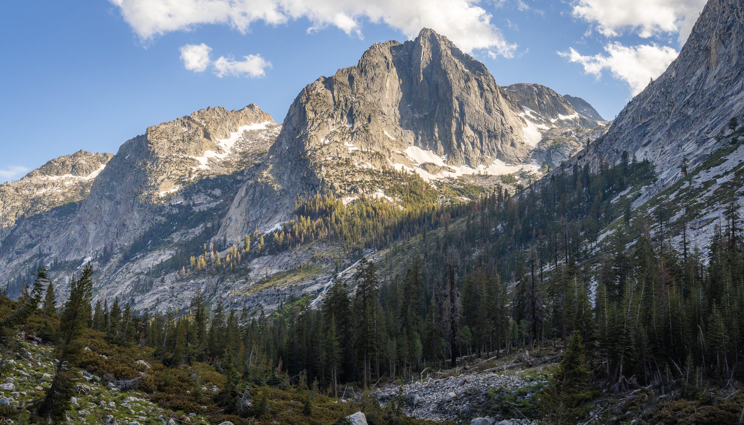
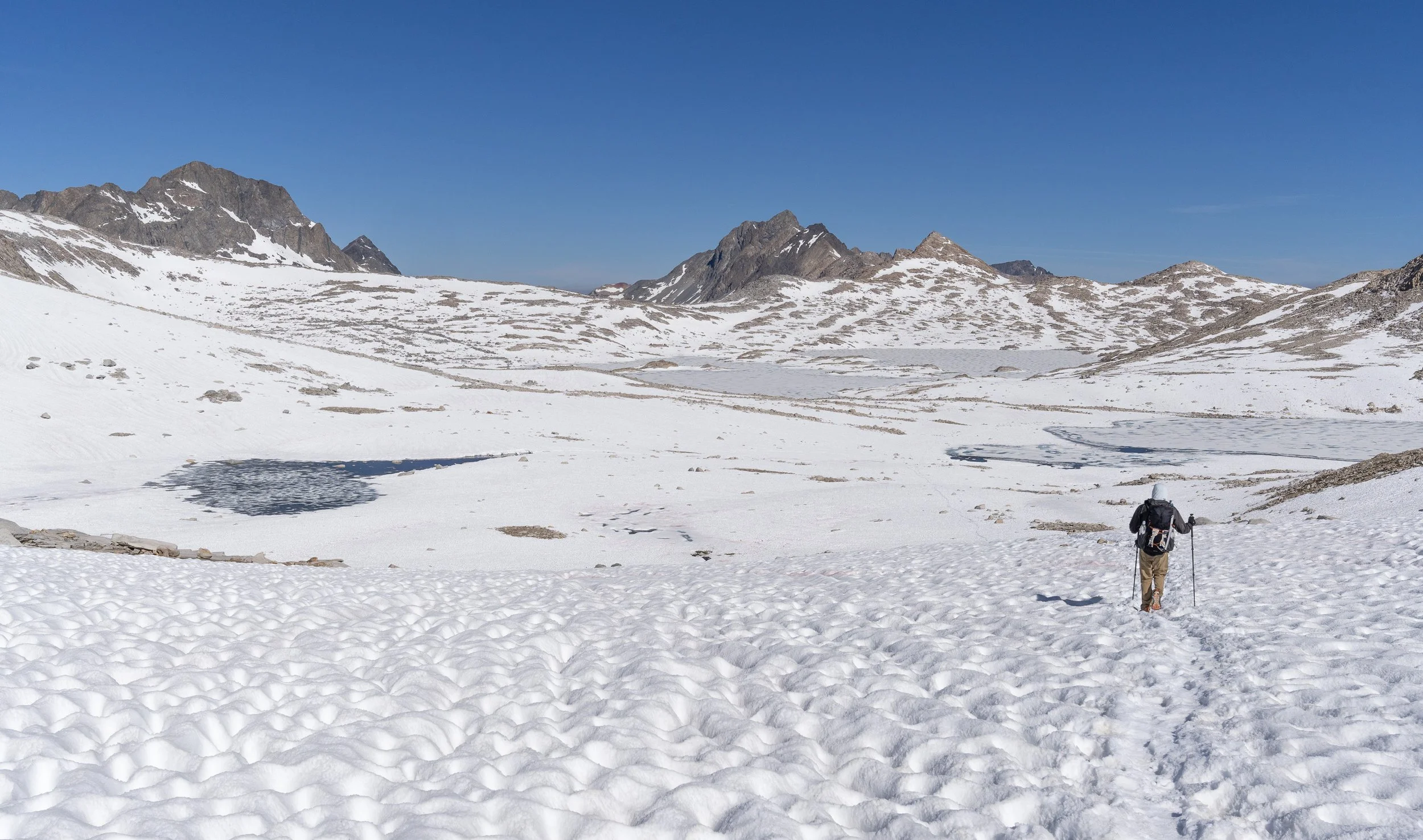
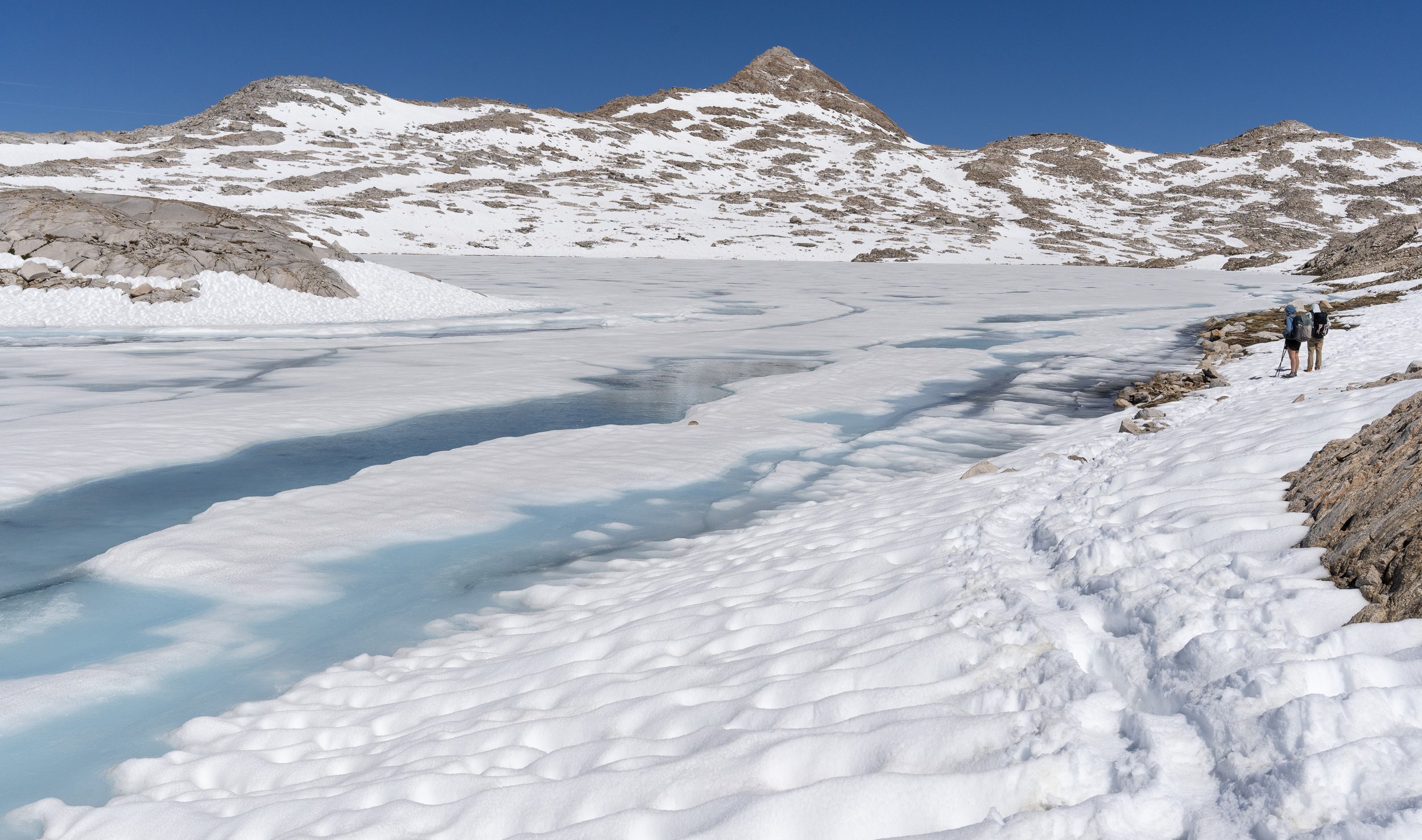
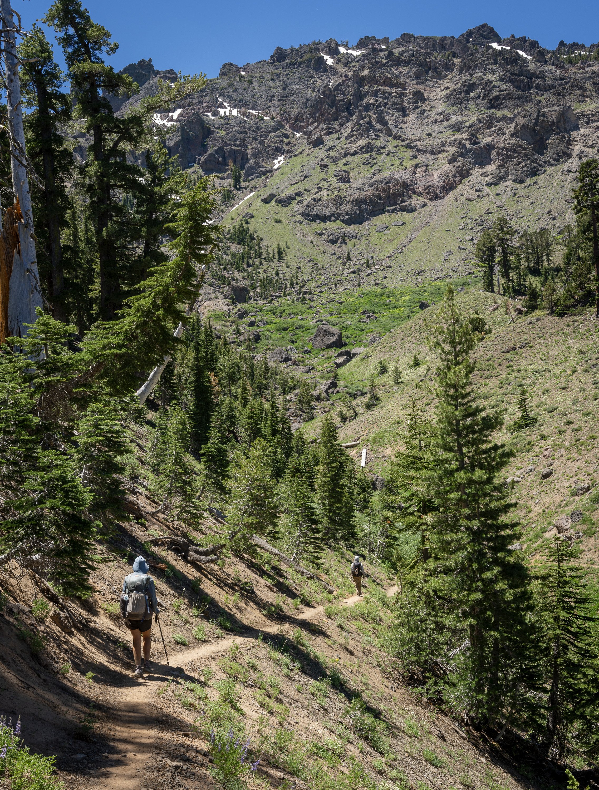
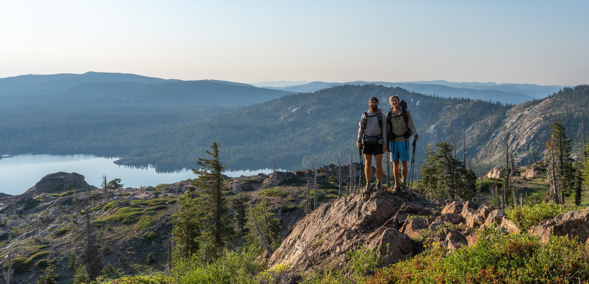
Every pass uncovered another playground.
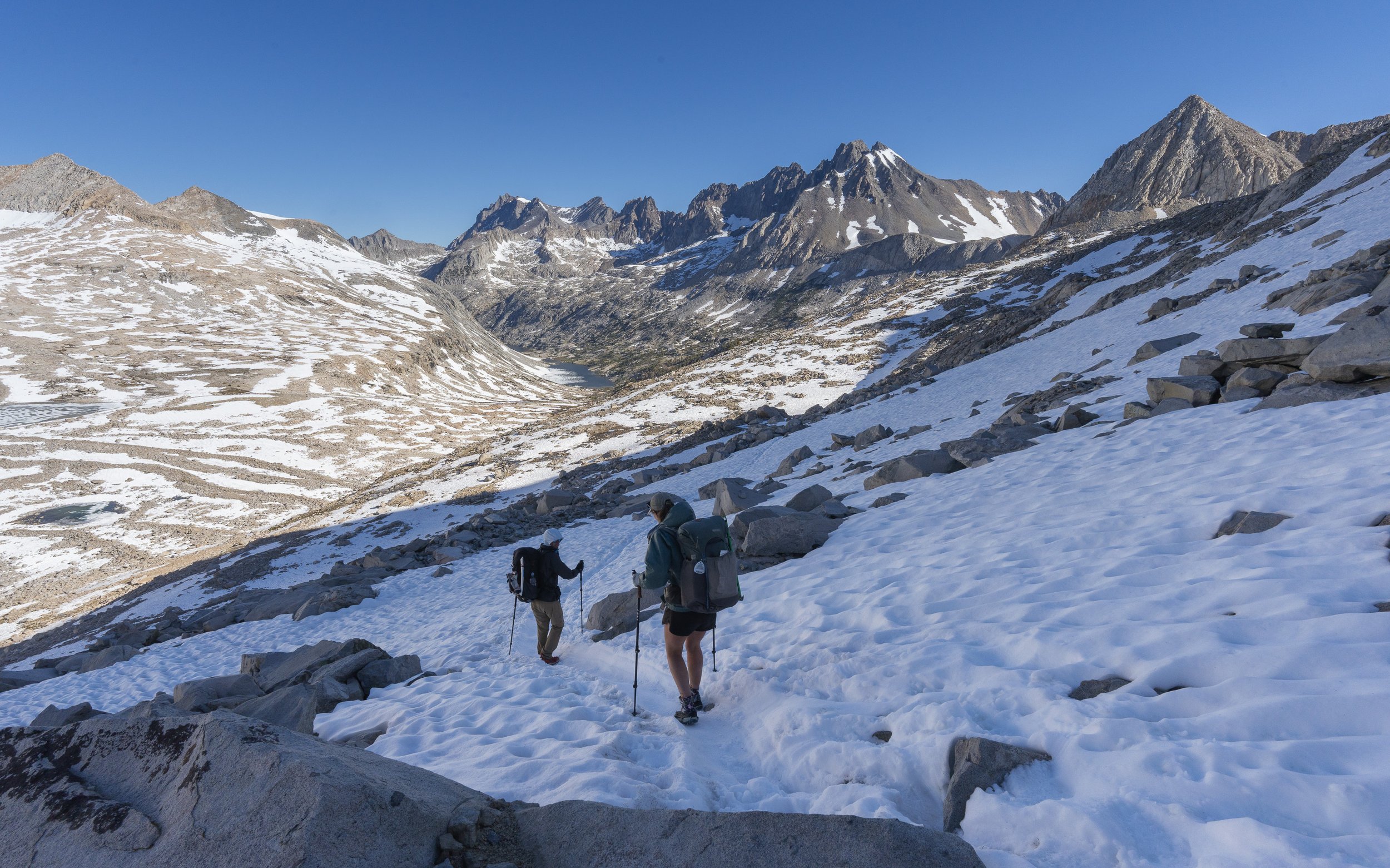
A morning pass, a mid day swim. Rinse, repeat. This is the Sierra.

An unexpected ptarmigan with appropriately fluffy feet.

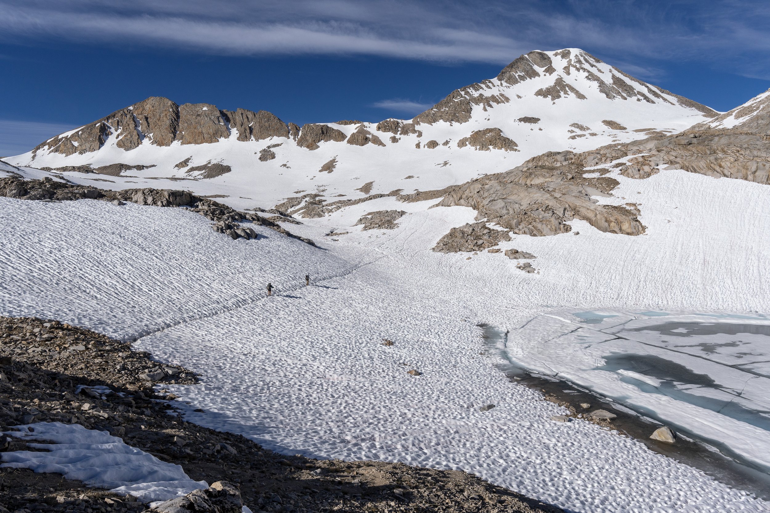
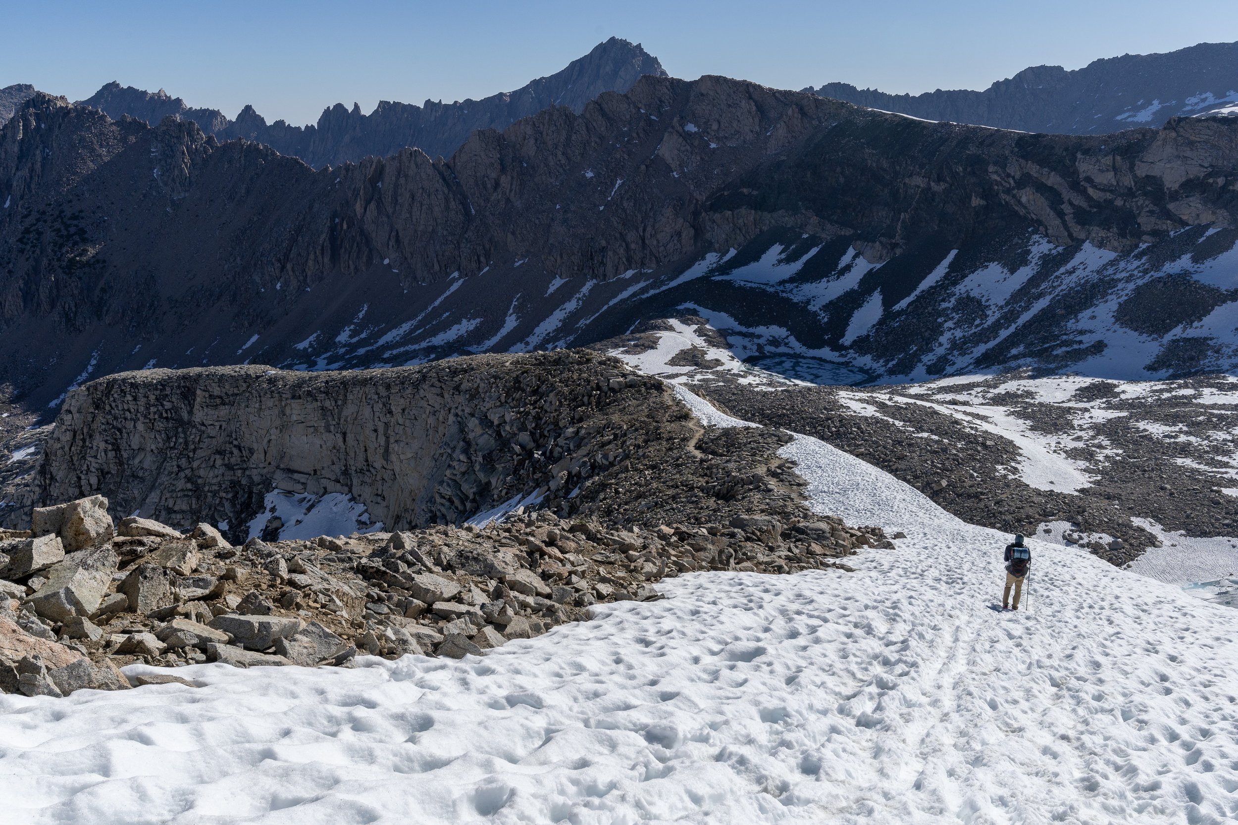
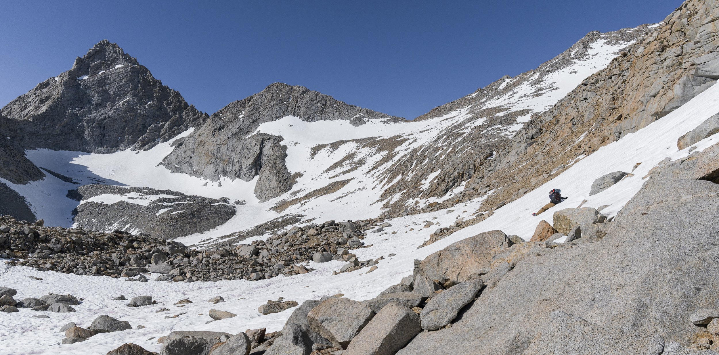
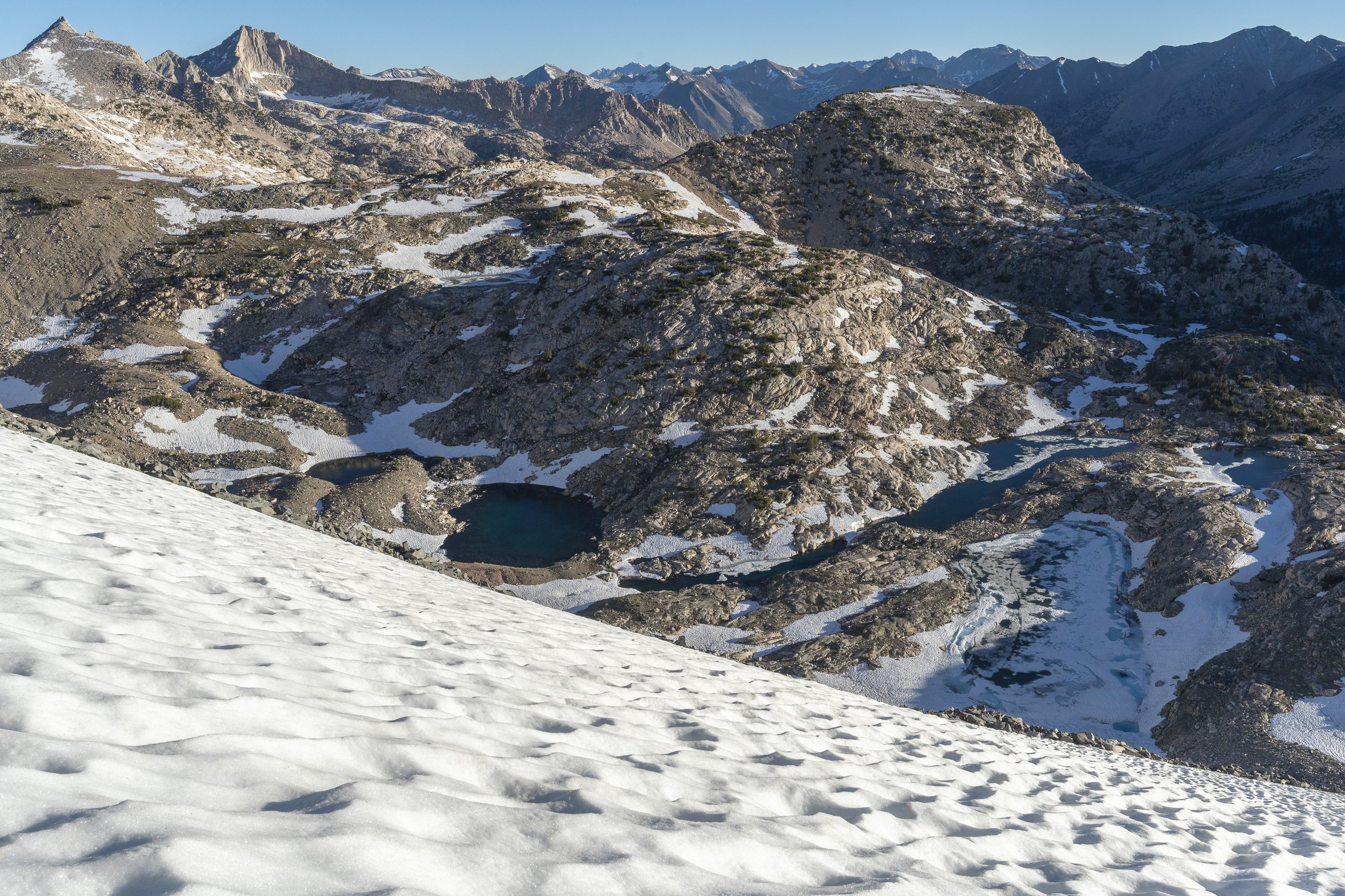
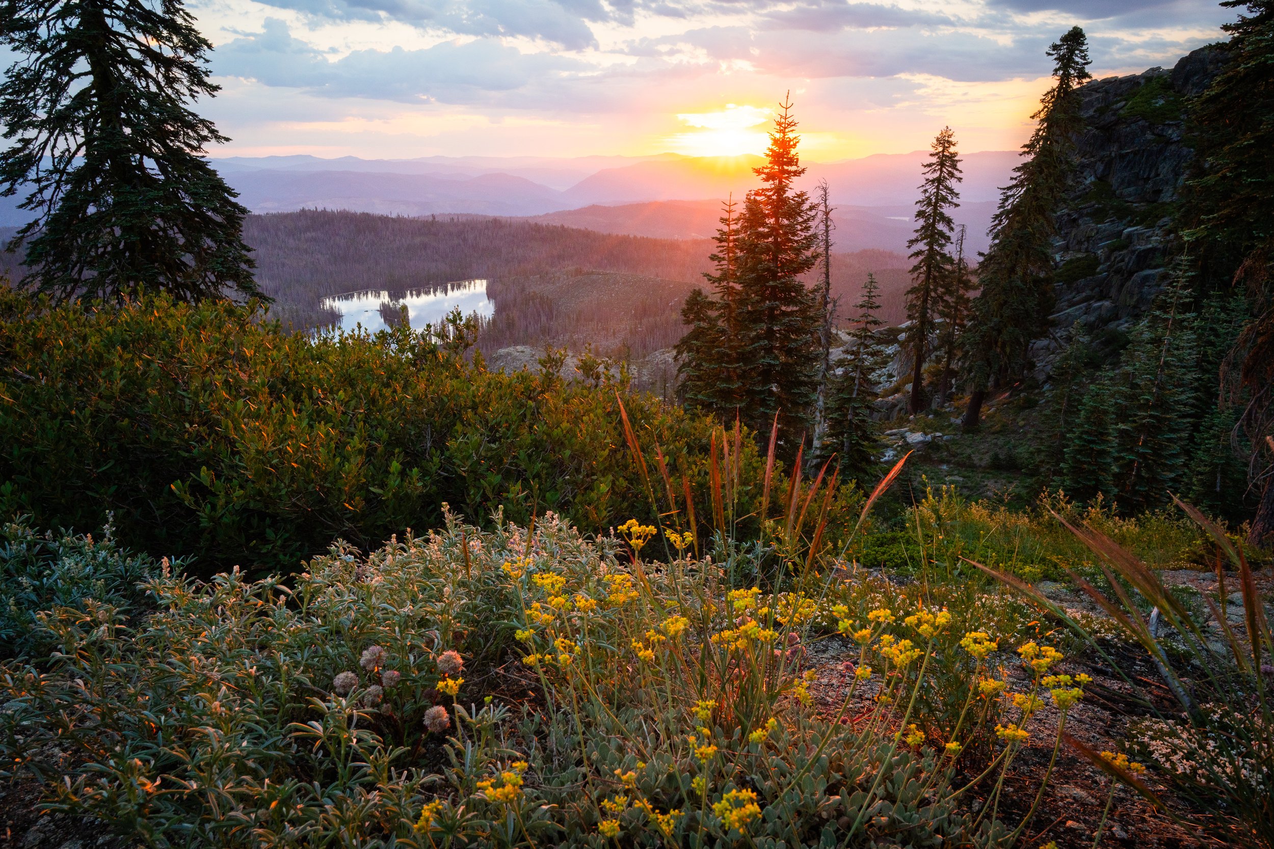
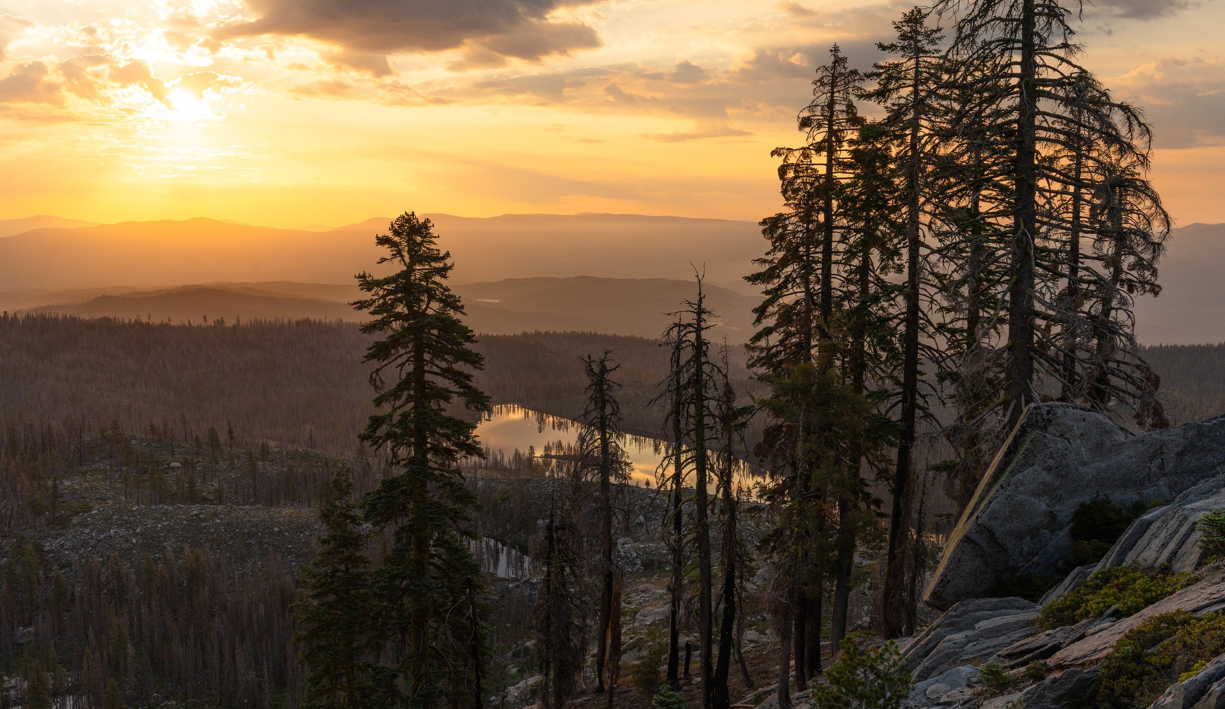
Approaching Muir Pass, which in a stacked field, may be the most beautiful pass. Sadly many hikers missed it this year due to a the San Joaquin bridge outage. Which we had navigated around.
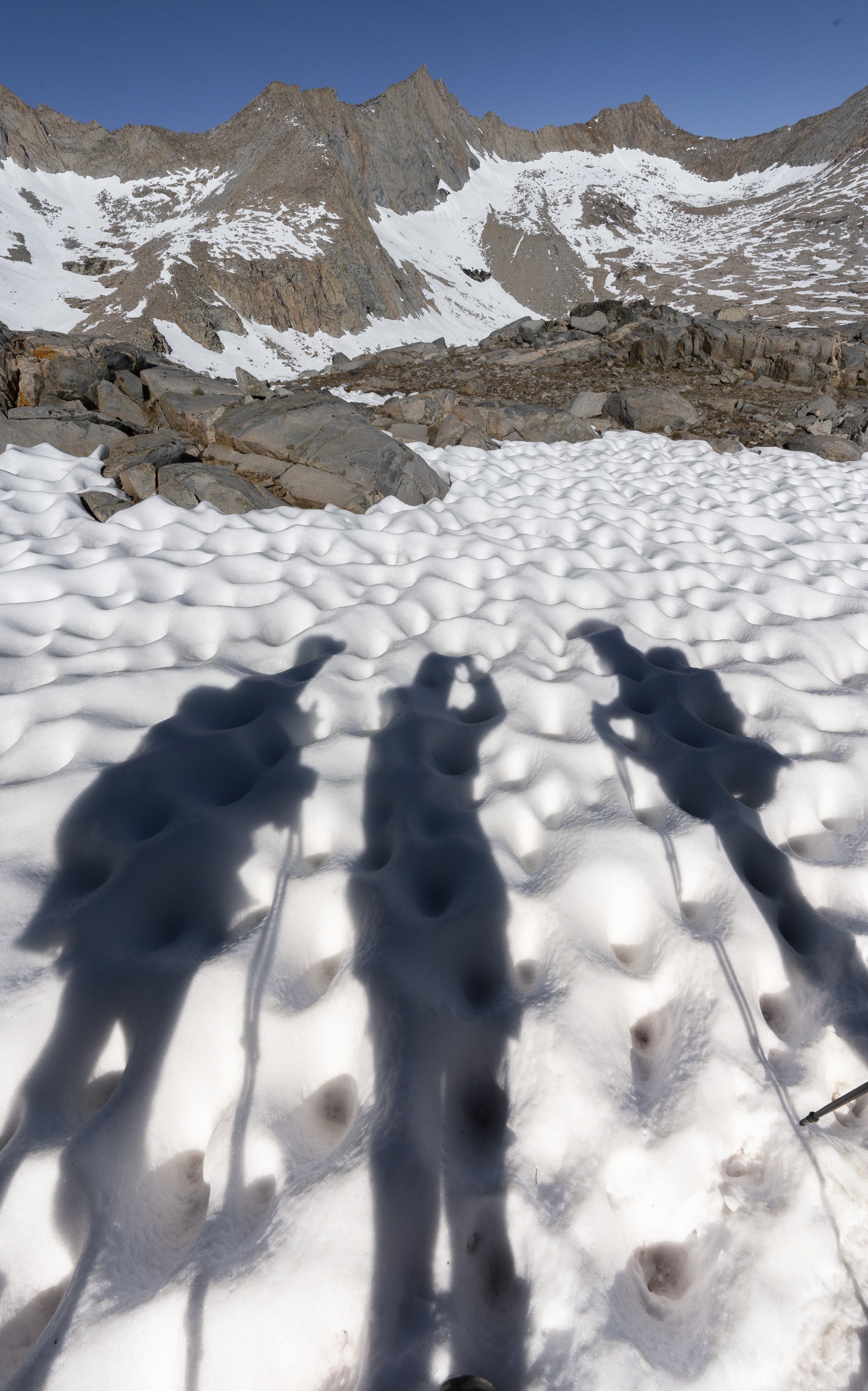
Definitely scratching the snow travelling itch on this pass


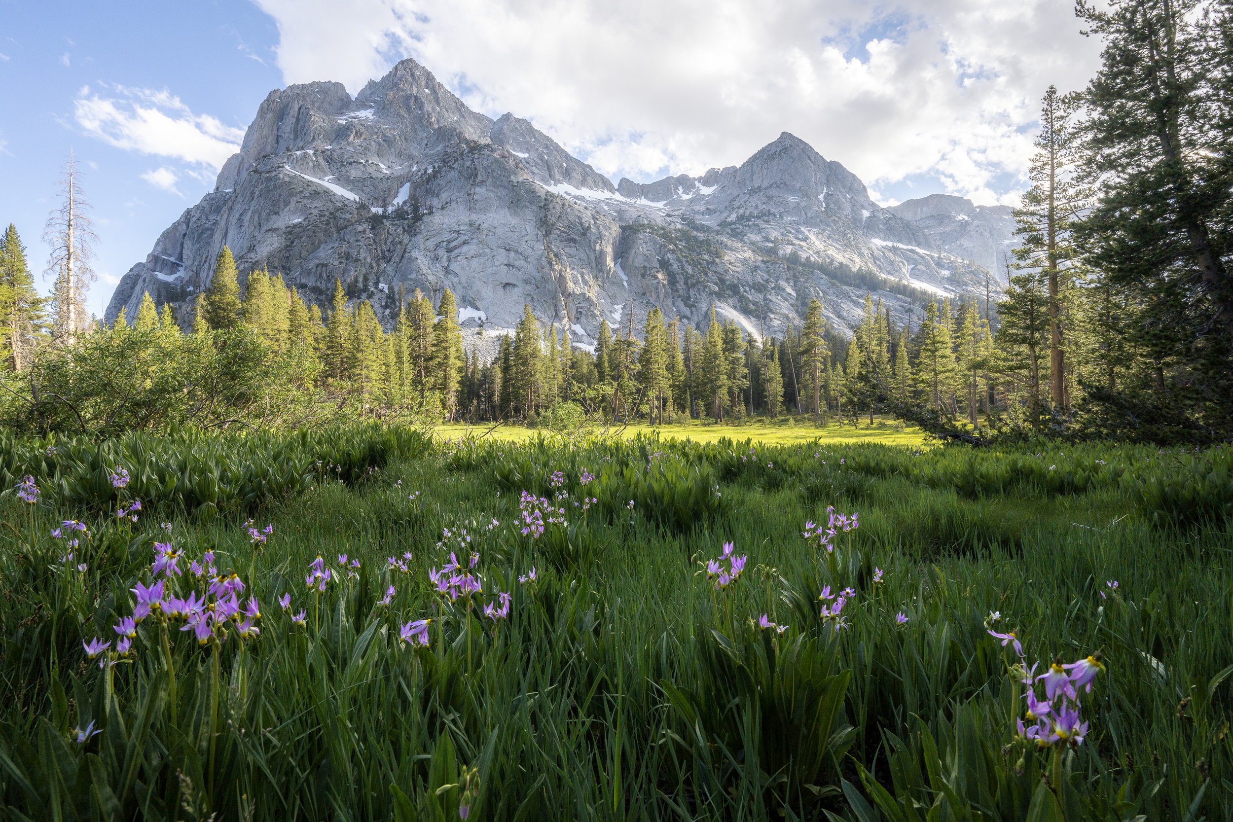
This whole section was otherworldly in its beauty. And fairly quiet up till Selden Pass thanks to the bridge outage.


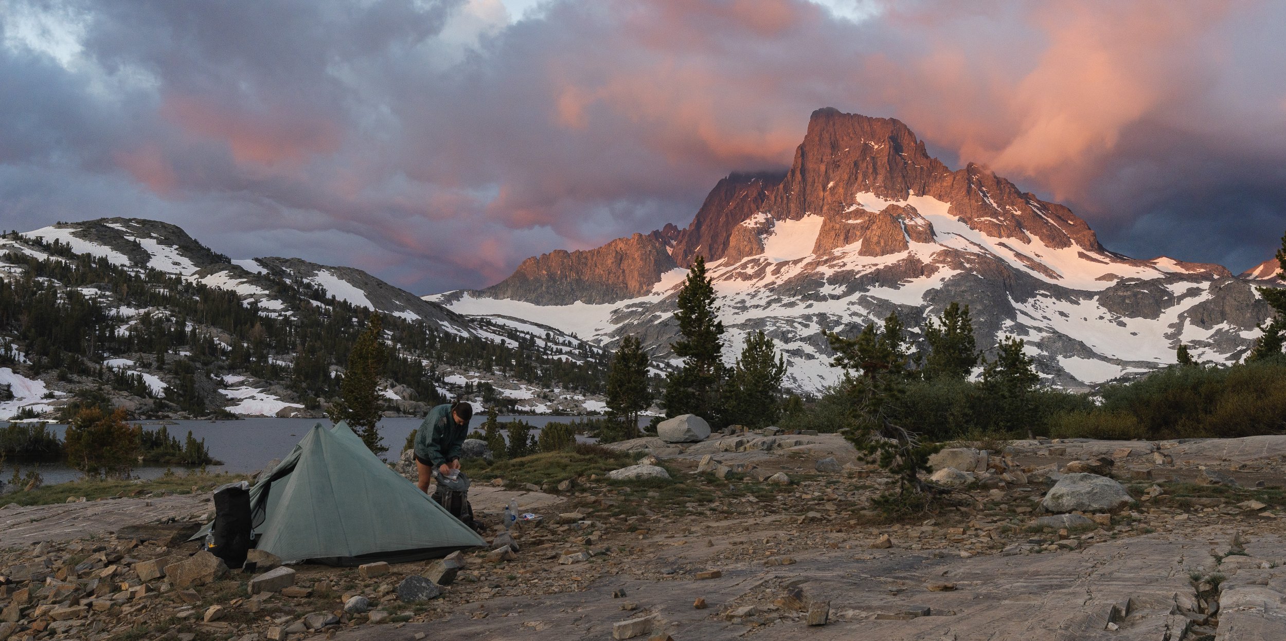
Waddle quickly sets up camp as some very dramatic clouds billow behind Banner Peak.


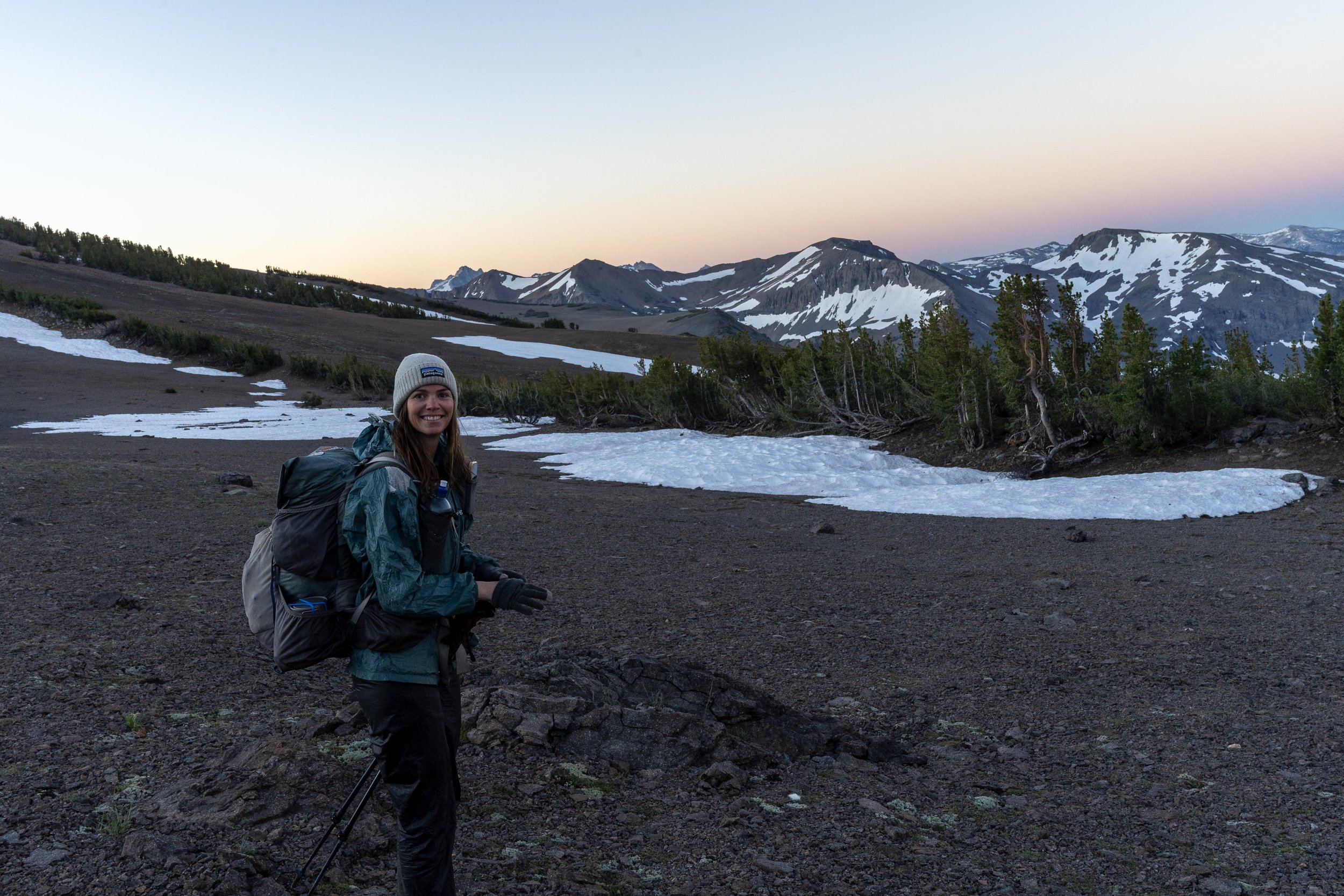

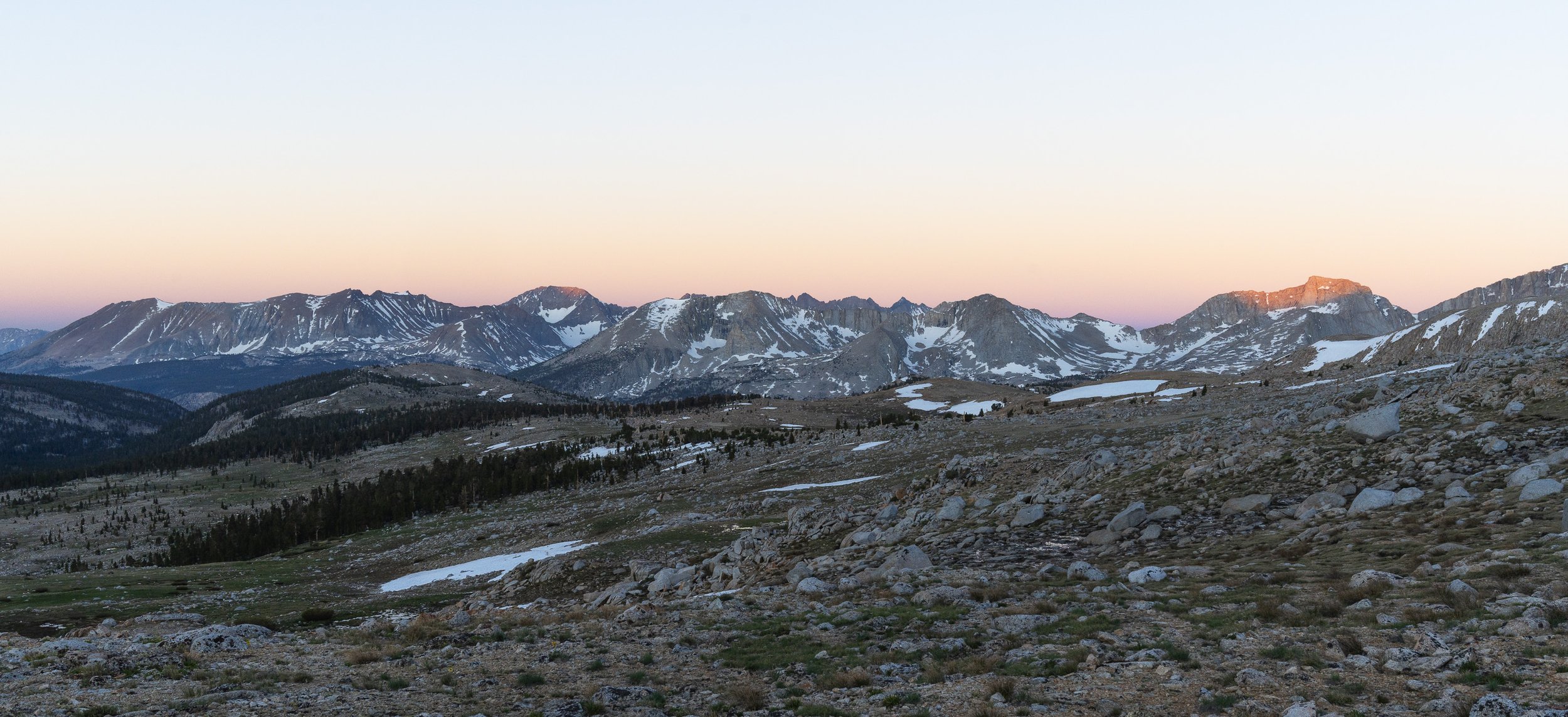
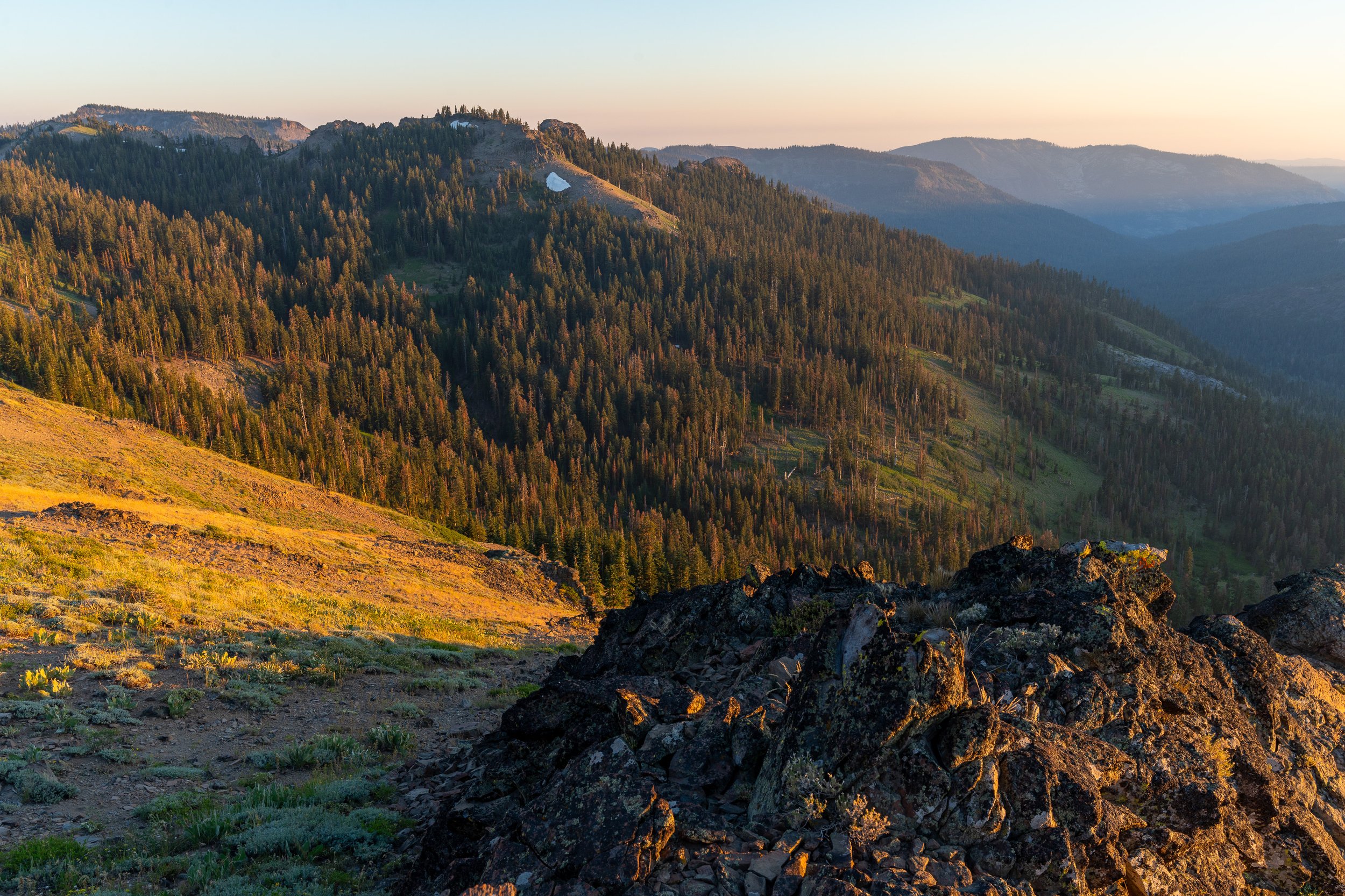
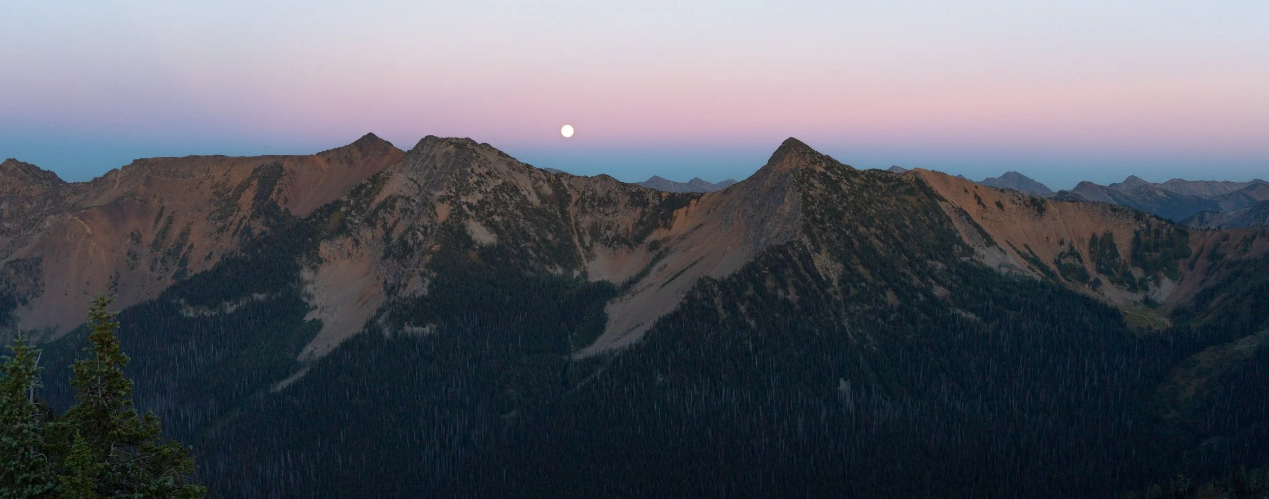
Heading towards Sanora Pass. Looking back we could see snowy peaks, but none ahead. We had made it through the Sierra. It was a bittersweet realisation.
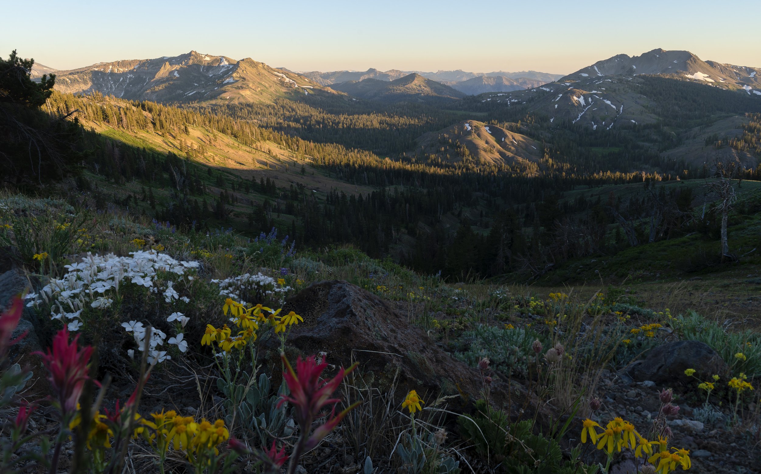
Slowly loosing altitude, we were walking back into summer.

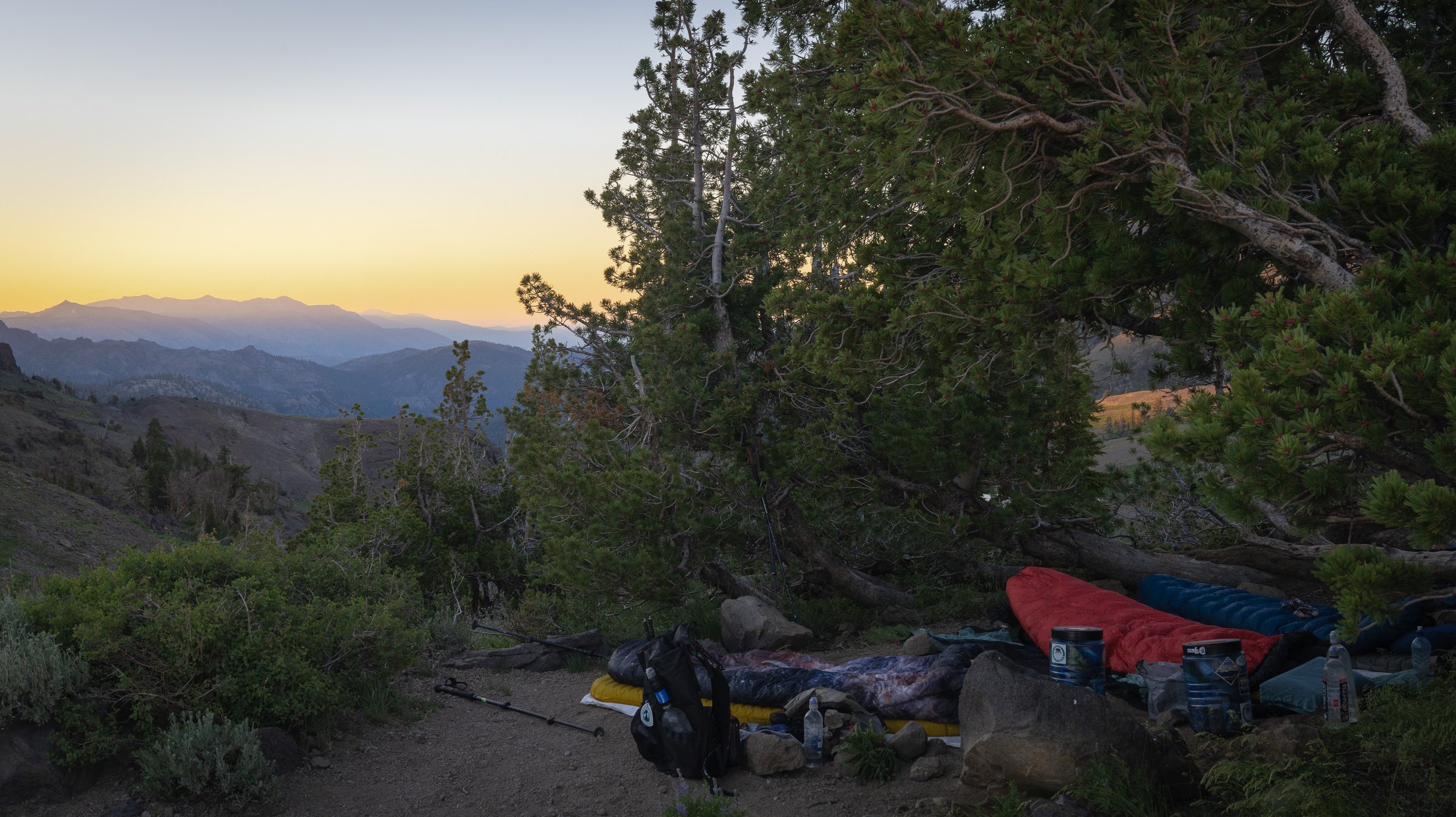


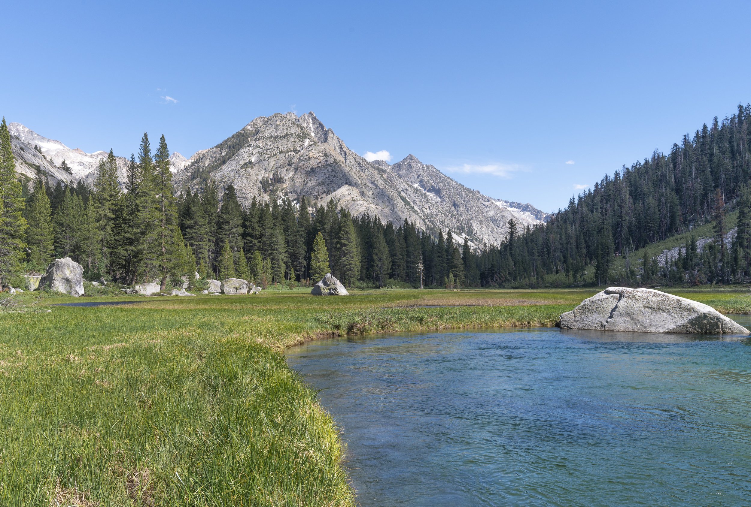
Tahoe was around the corner. Farewell bear can. And farewell Sierra. It was incredible.


Northern California
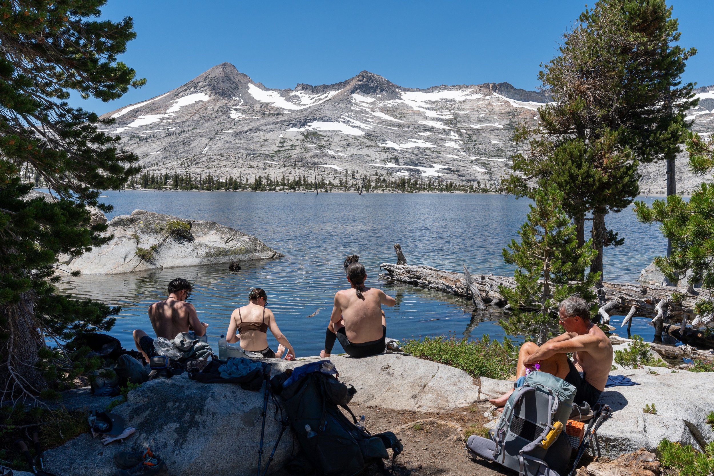
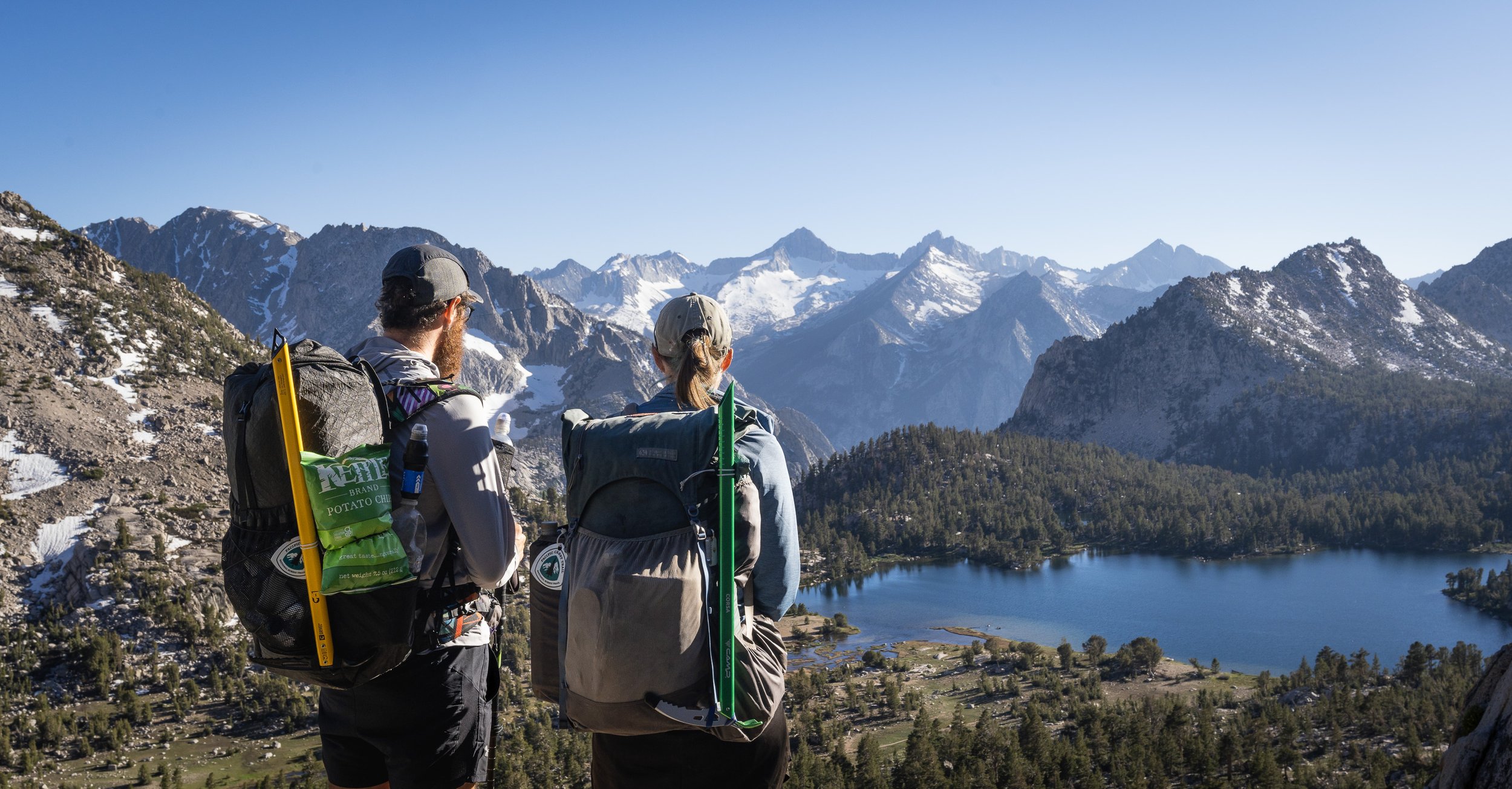
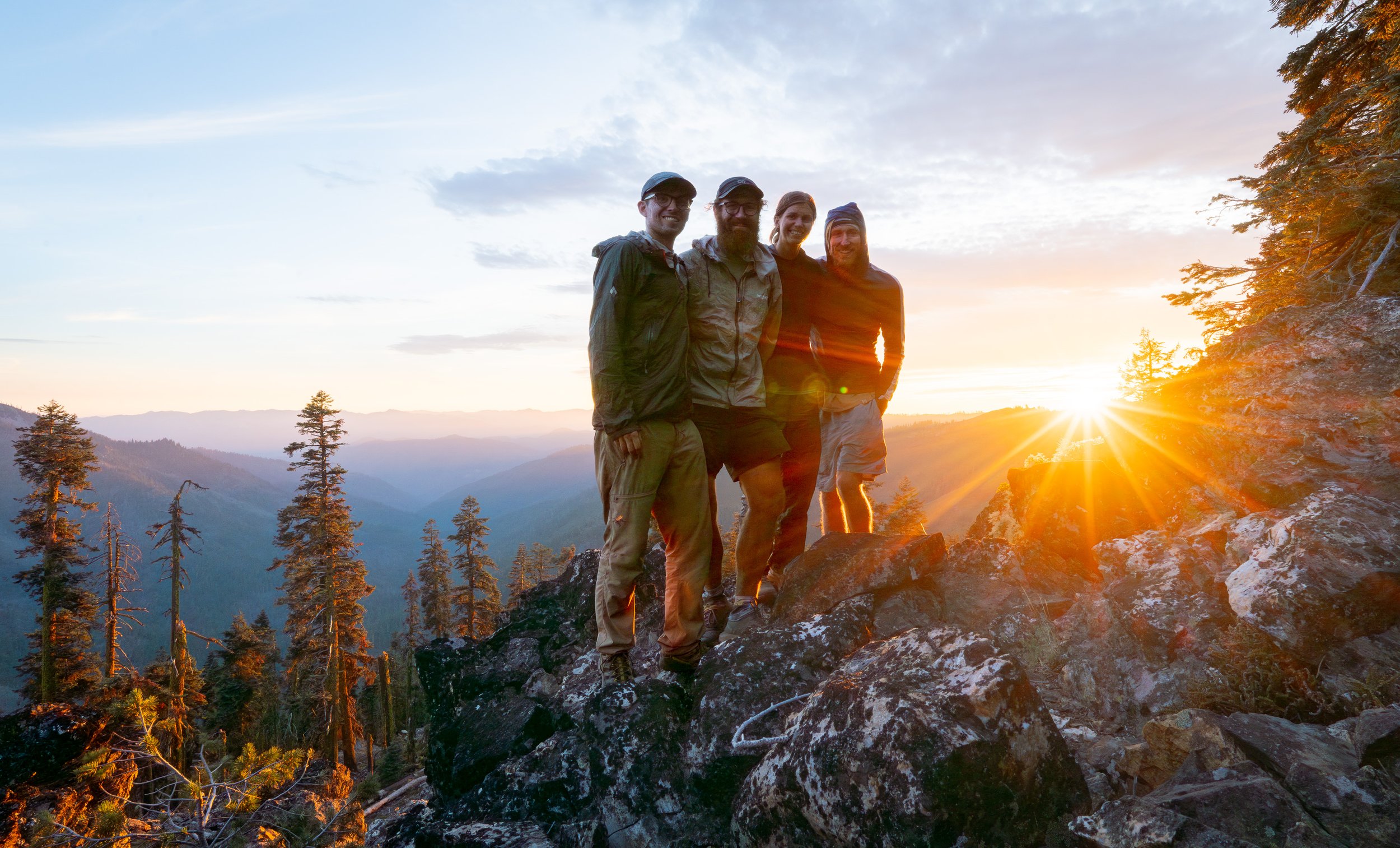
Tour Guide, Waddle, Hard Egg and OMG enjoying my favourite swim on trail - Lake Aloha.
A small fire starts to the north. A foreboding sign.


Still waiting for those NorCal blues to hit.
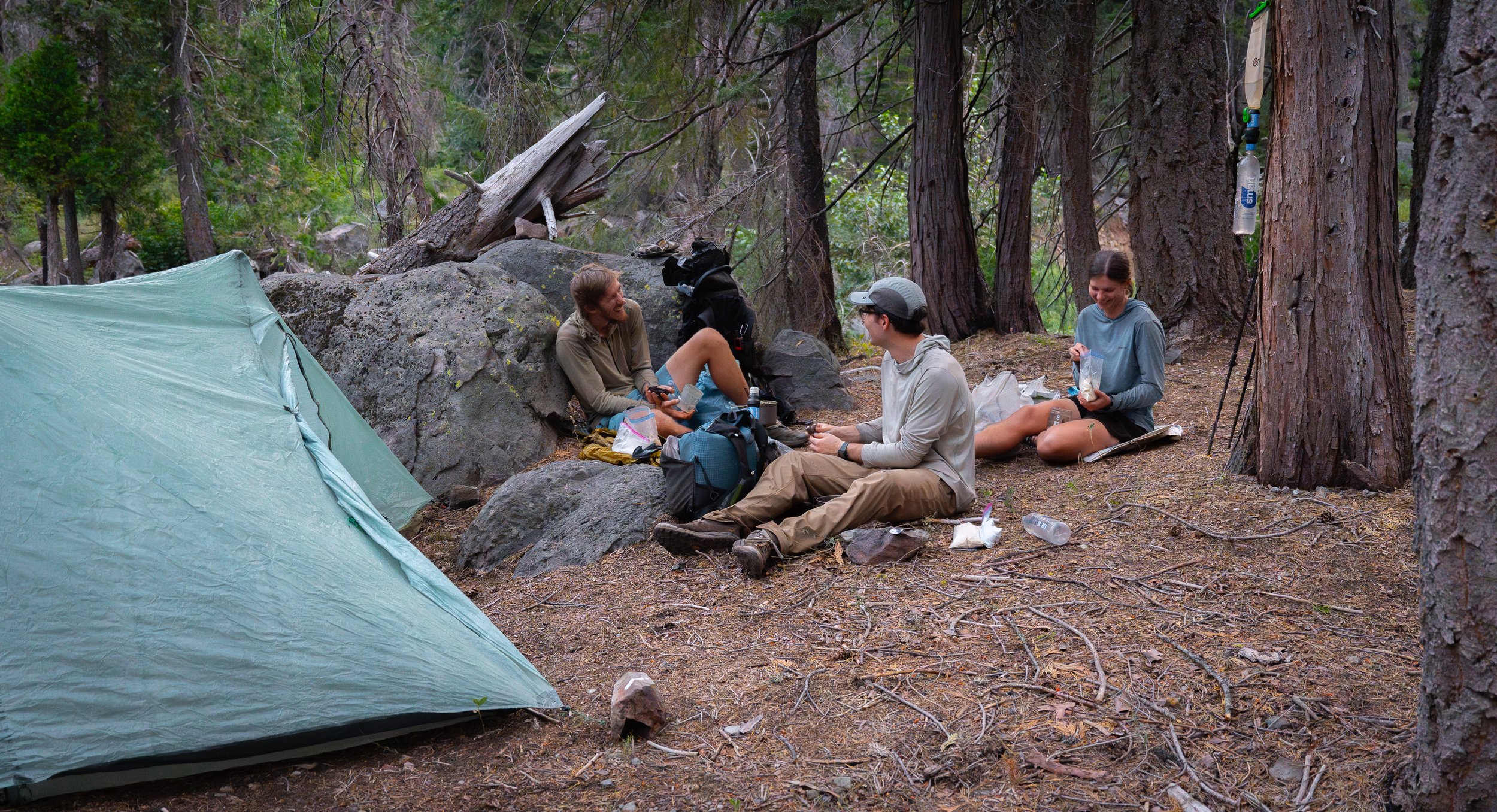
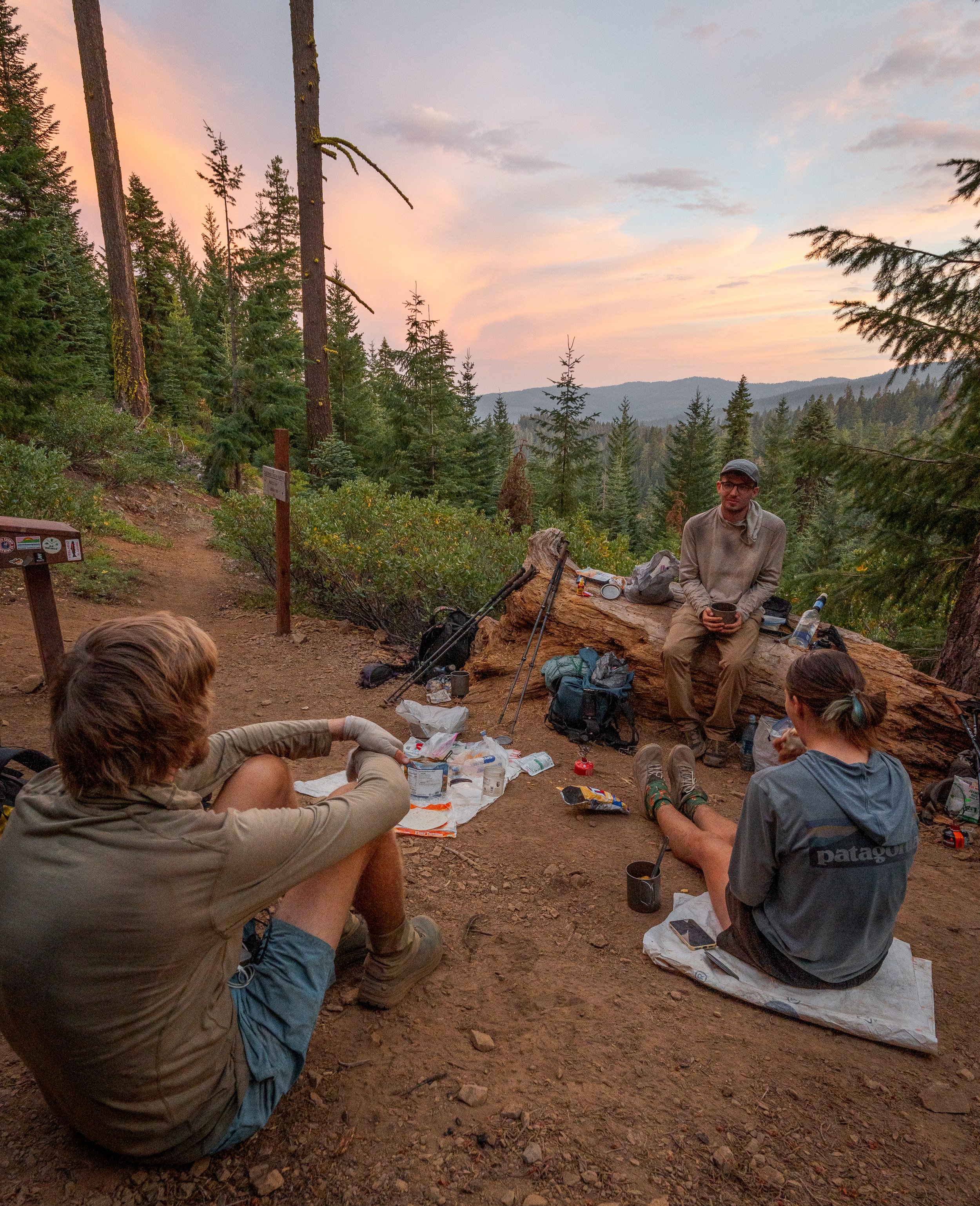
The tramily expands as Brenden (another aussie) catches us up.


Still waiting for NorCal to start sucking.
Getting a lift into Burney with a kind stranger. Little did we know, Brenden and I had contracted Norovirus.

The Noro hit in Burney. I didnt have it bad, but poor Brenden had the night from hell. I have never heard a more agonised and prolonged series of vomiting.
It took Brenden and I two days to walk the 8 miles to Burney Falls after we'd recovered. The lingering fatigue was immense. During this time Tour Guide also came down with the Noro.

Fast forward a few days and fire skip and we were leaving Shasta. Somehow Waddle never got Norovirus.


A final dinner in California. Other than getting sick, NorCal was amazing. NorCal blues is some made up bullshit.
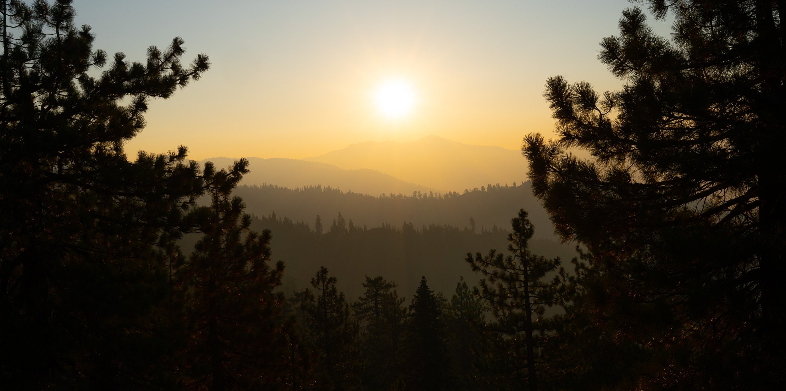
A beautiful sunset to bit farewell to California.

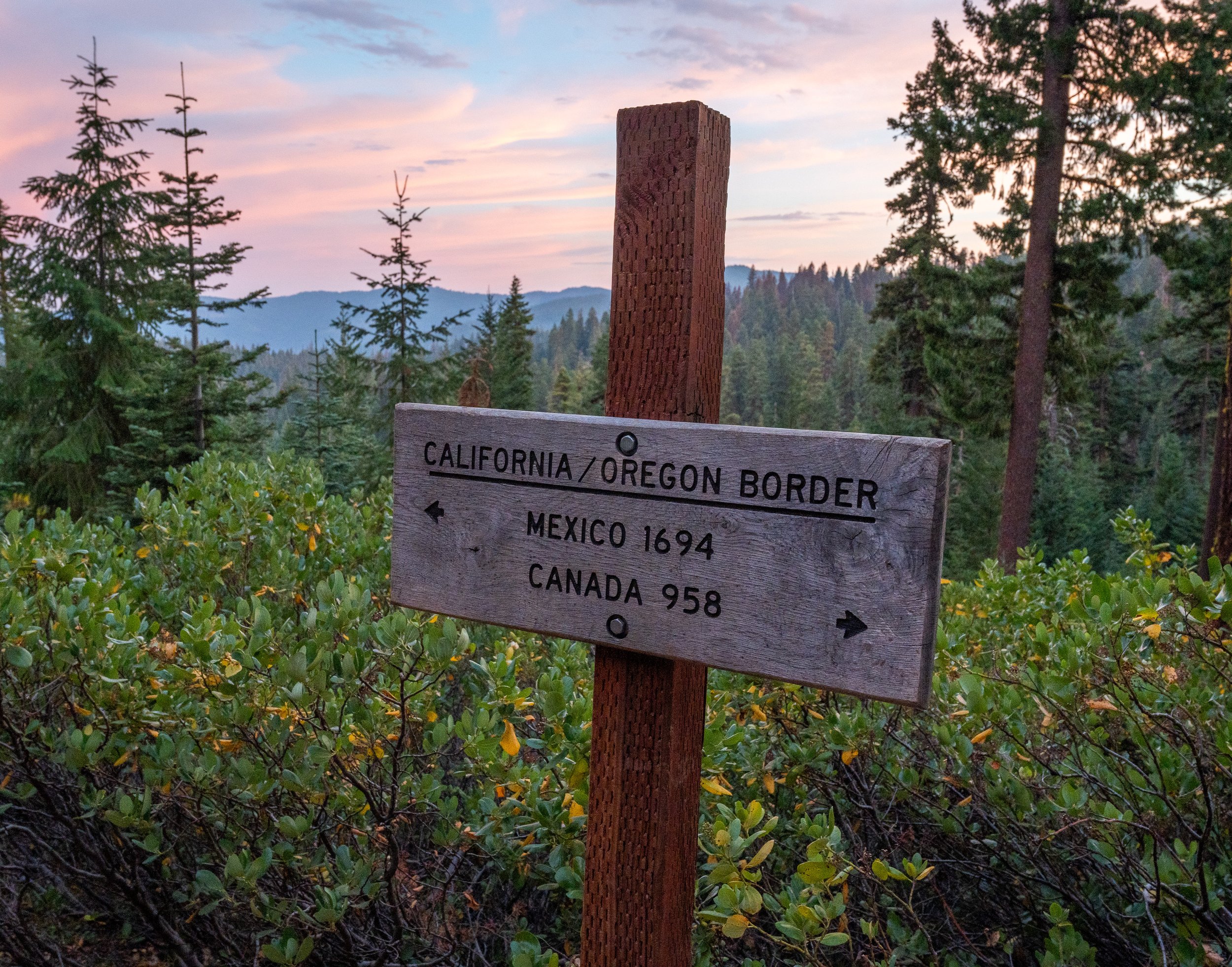
Oregon

Brenden had a time crunch and I wanted to do the Oregon Challenge (hiking the state in <2 weeks). Waddle and Tour Guide correctly deduced that the regular pace would be more enjoyable, so we split temporarily.


Brenden had been managing Achilles tendonitis since mile 150. Here I document a very rare instance of him performing his rehab exercises.


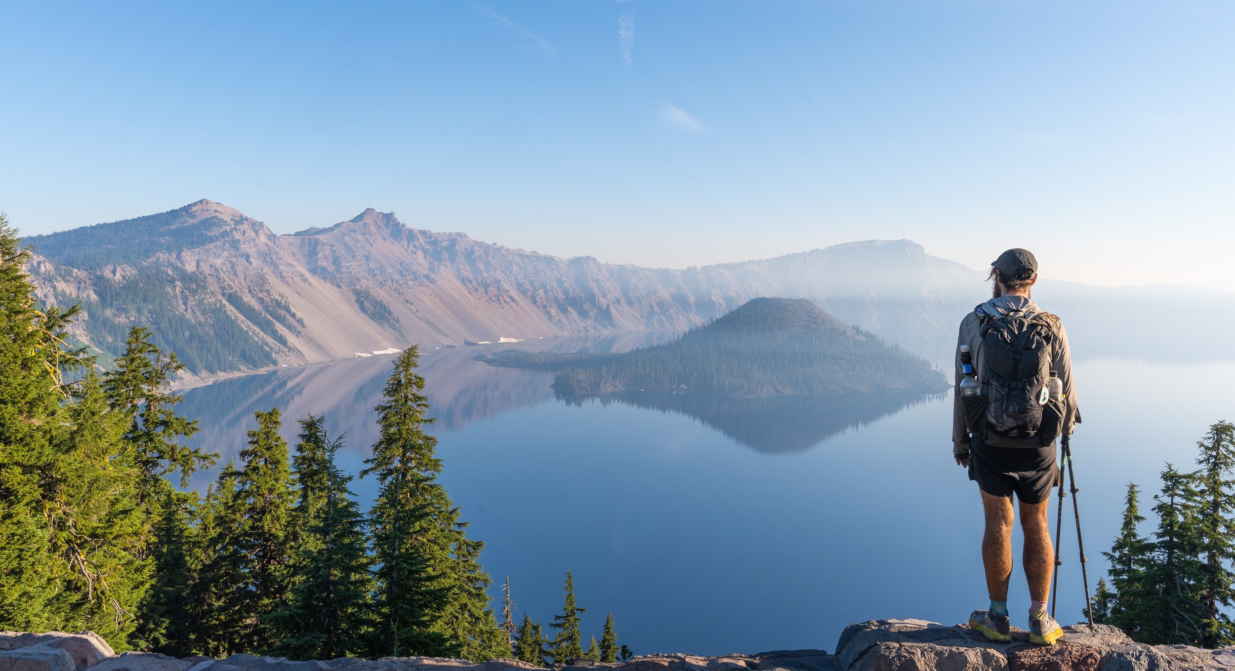
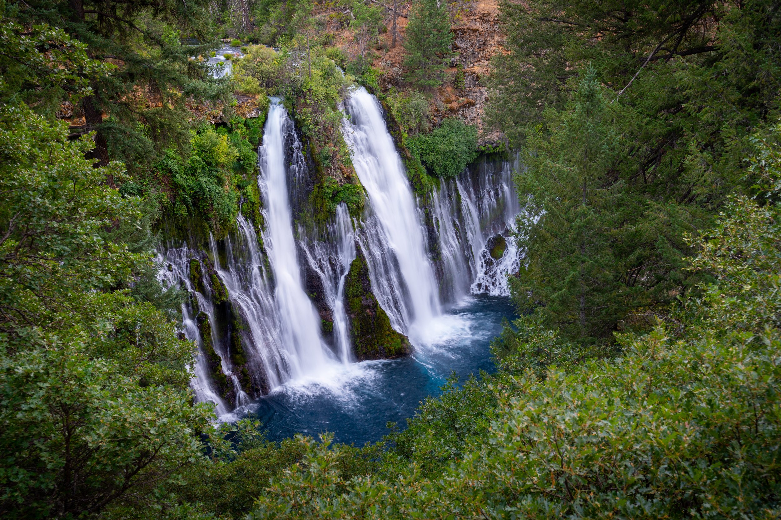
Crater Lake. As mind blowing as I expected. But a shit resupply.


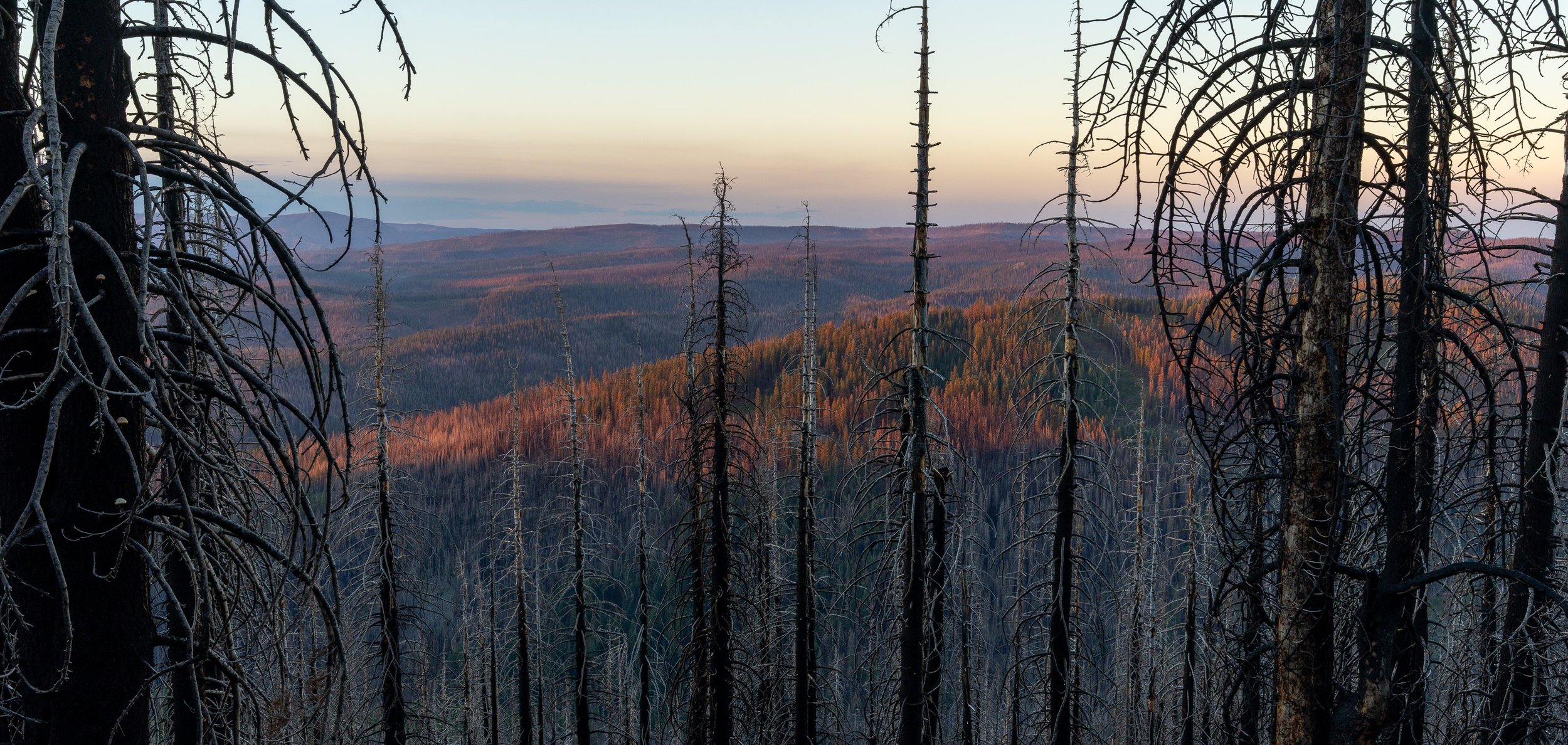
I never minded walking the burn scars. It felt like walking in the apocalypse.


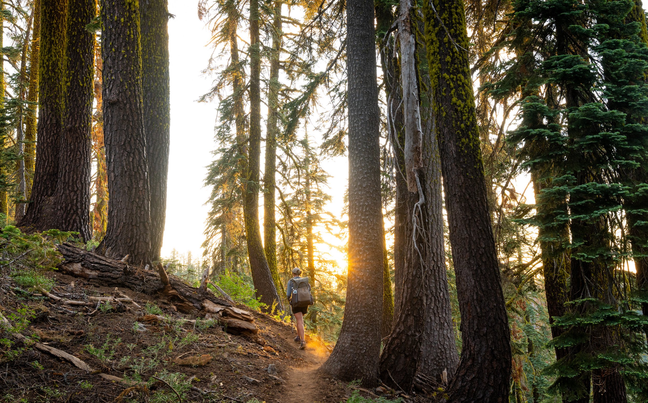
Oregon getting whatthefuck beautiful.


A huge shout out to Masshole. A triple crowner and one of the most active trail angels in 2024. Absolute legend.


Traversing the lava flow


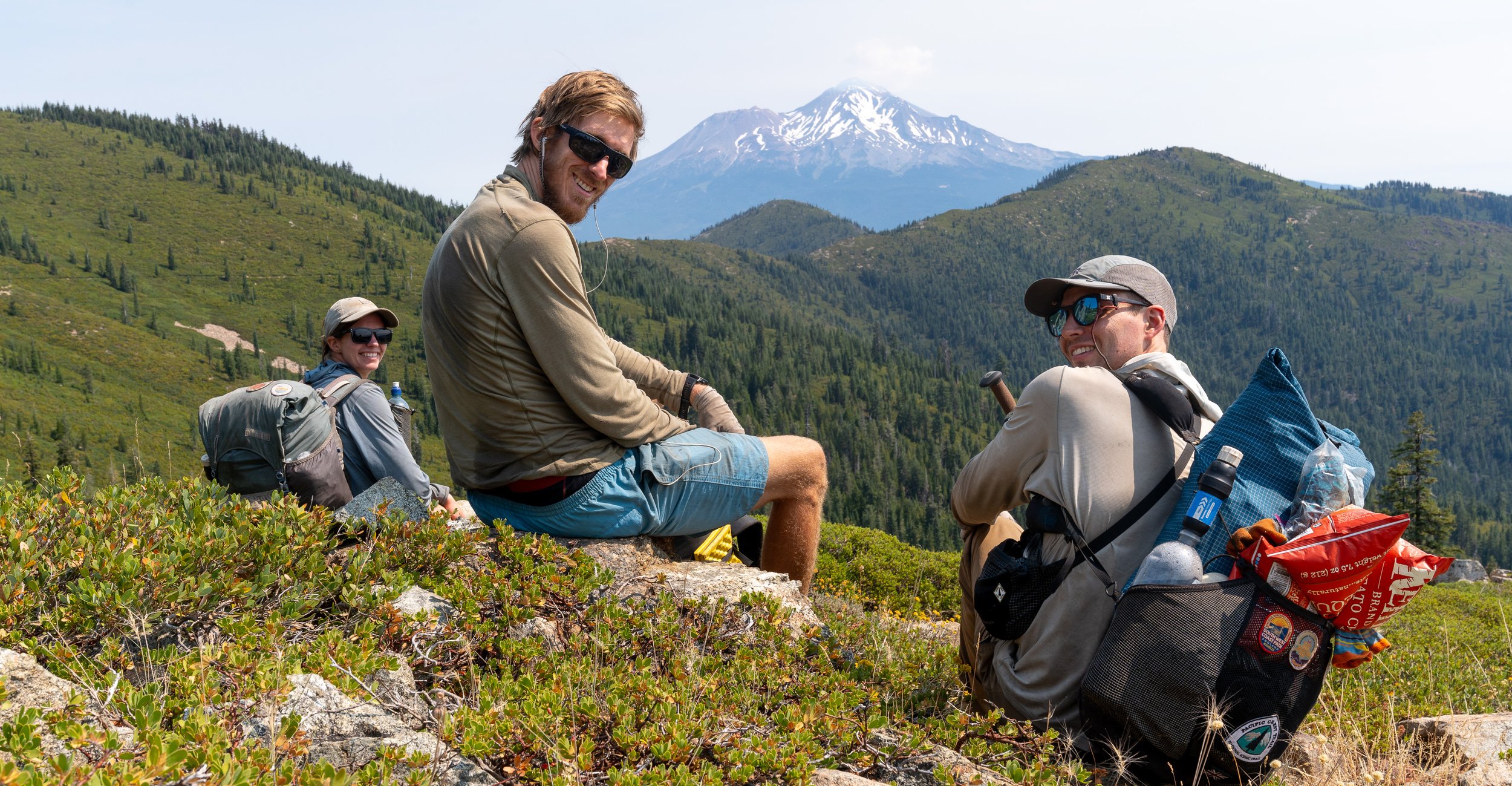
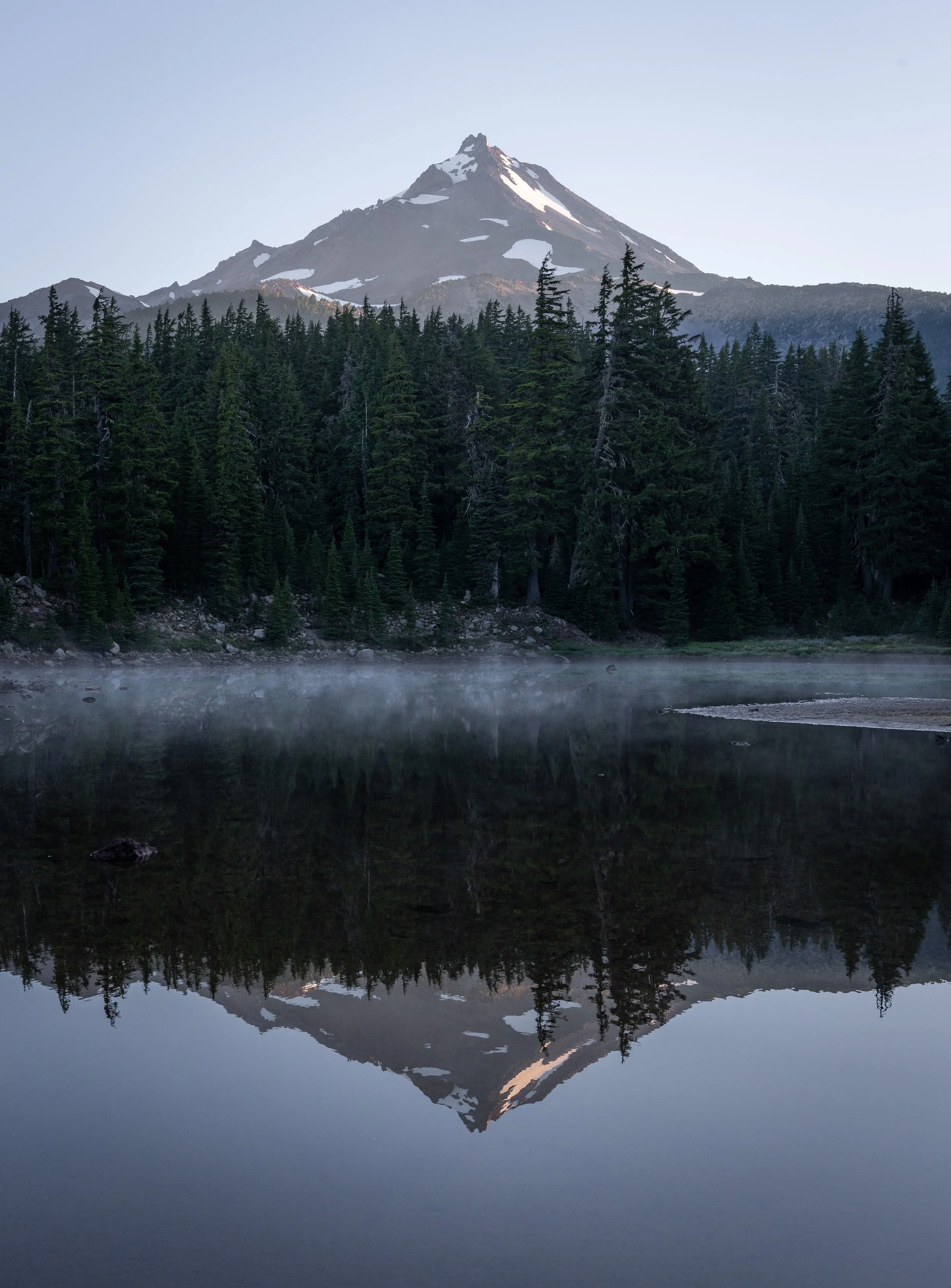
The area around Mt Jefferson was amazing. I couldn't stop taking photos.


Someone said my legs looked cremated. Smokey would be proud.


Approaching Mt Hood was the last time it felt like summer on the trail. The temps noticeably drifted lower the further north we travelled.


We stayed up late on our last night in Oregon despite being very ready for sleep. Tip Tap and Twerk had set up a party for trail magic.


Berries marked our official arrival to the PNW.


Bridge of the Gods and the completion of the Oregon challenge.

We'd made it just ahead of trail days.

Hey guys its Darwin

We stayed for Trail Days and caught up with many fiends.

Sadly this is where I'd say goodbye to Brenden. He would continue north and I would hitch back to NorCal to finish off California now that my missed sections were open. I'd hope to move fast and make it back not far behind Tour Guide and Waddle and reunite in Washington.

1000 miles and more memories
Washington


Rain, frogs, moss and mushrooms. After getting back from returning to NorCal, it was abundantly obvious Washington is unlike the rest of the trail.


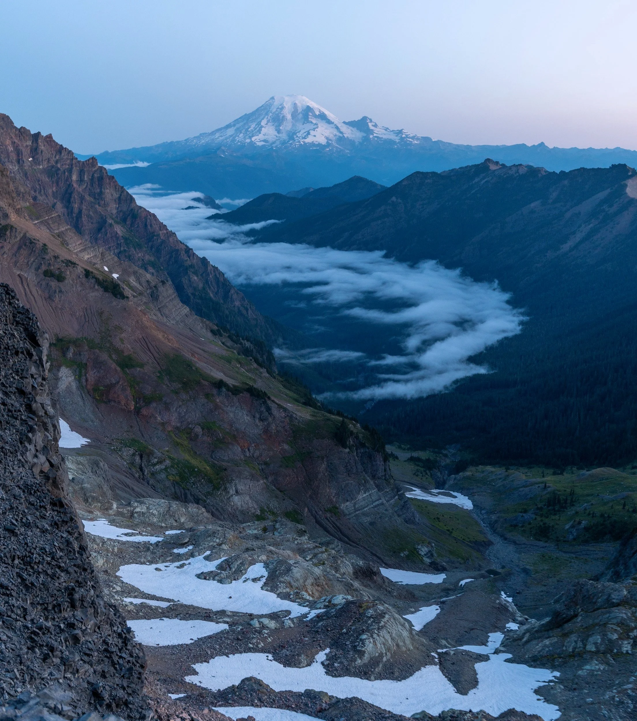
There was a crazy amount of fear mongering and negativity leading into Washington due to two fires. People were saying less than half the state was hikable and skipping all over the place. Others were getting off trail altogether. We hiked the state continuously using detours and was glad to have done so.

Dishwasher stoked on life nearing Goat Rocks.


Camping high and setting alarms early. It was well worth it.


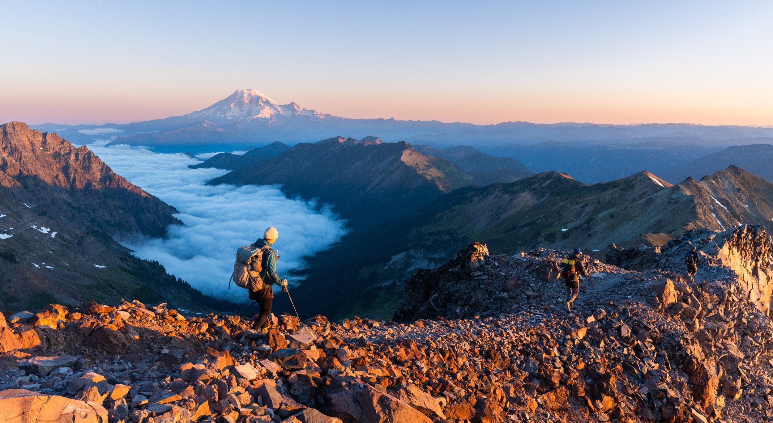
Goats Rocks Wilderness, the Knifes Edge. PCT. Where its at.


At the end of a morning I will always remember.


Dont tell Thermarest


Here we deviated from the PCT on the official Spider Glacier detour. It ended up being an amazing detour. But I was very pissed this section was still closed despite rain and 0 fire or smoke activity for a couple of weeks.


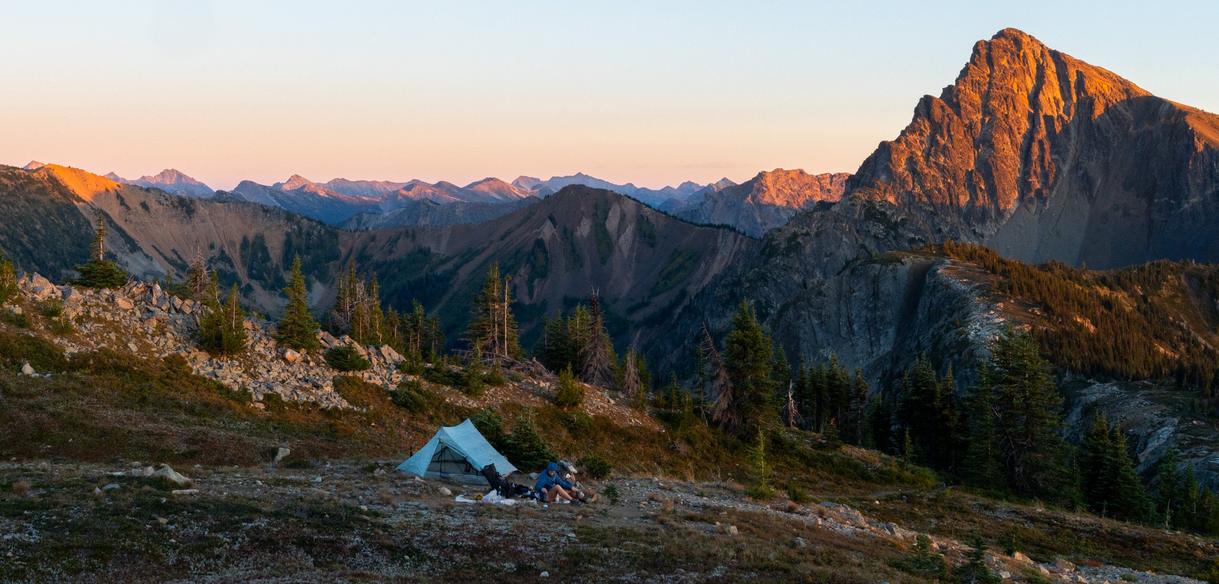
Back on the PCT now we had gone through Stehekin and then the far superior bakery at Mazama. It was our last resupply.

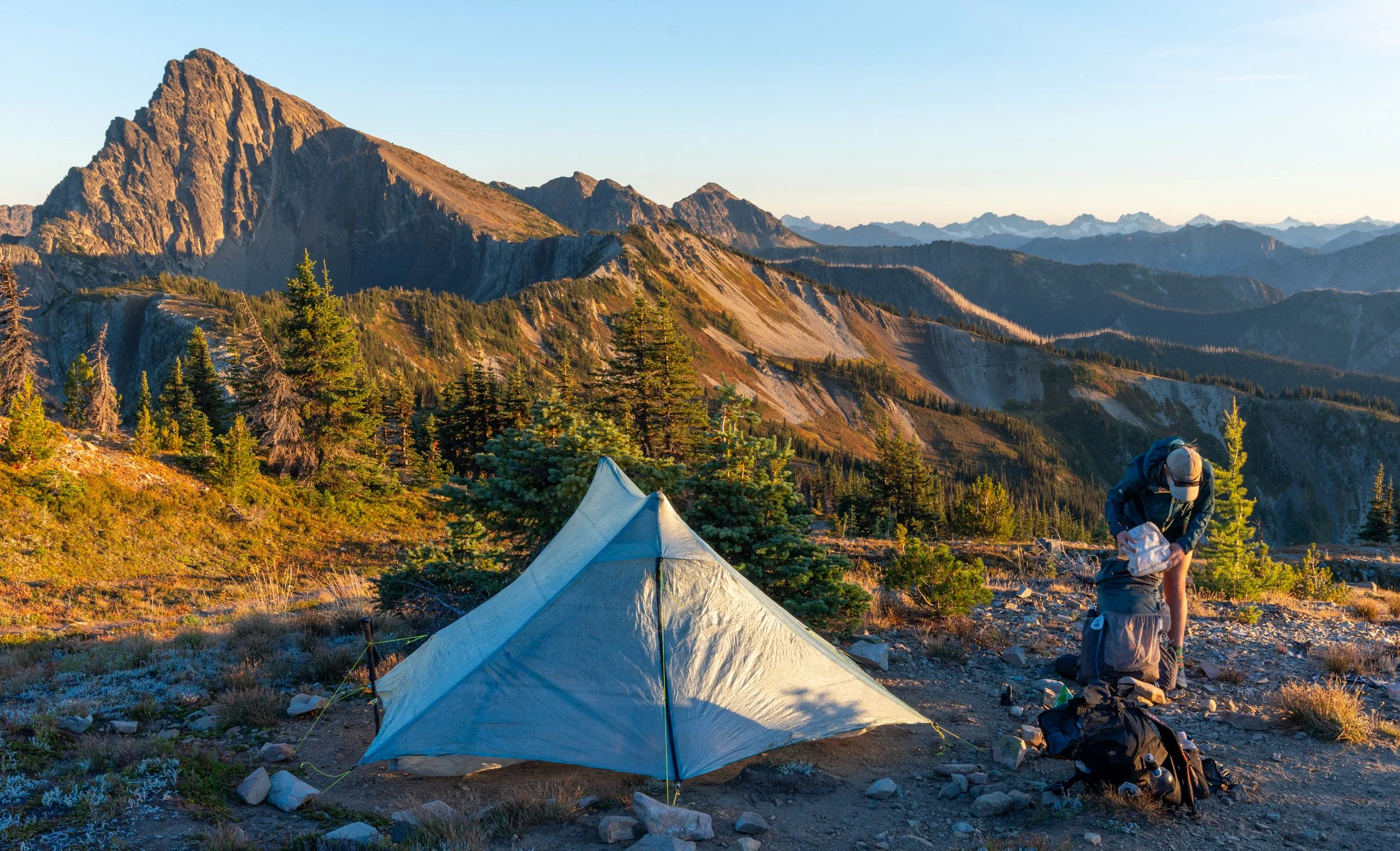


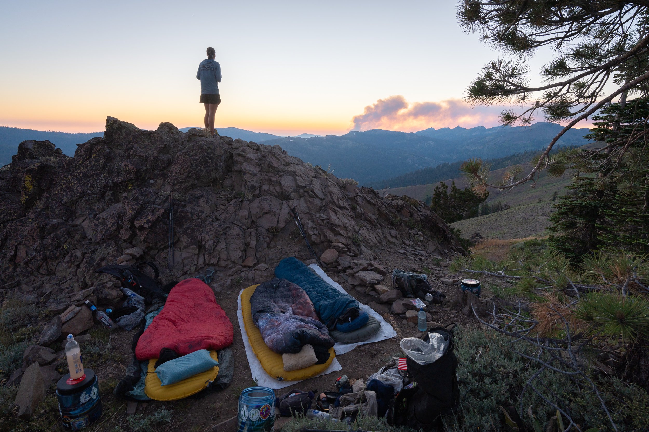
The last campsite on the PCT and up there with the best of them. What a send off.


I had walked 2600 miles and not seen a bear the entire trail. We were convinced they were a conspiracy. Then on our last day we saw two!!

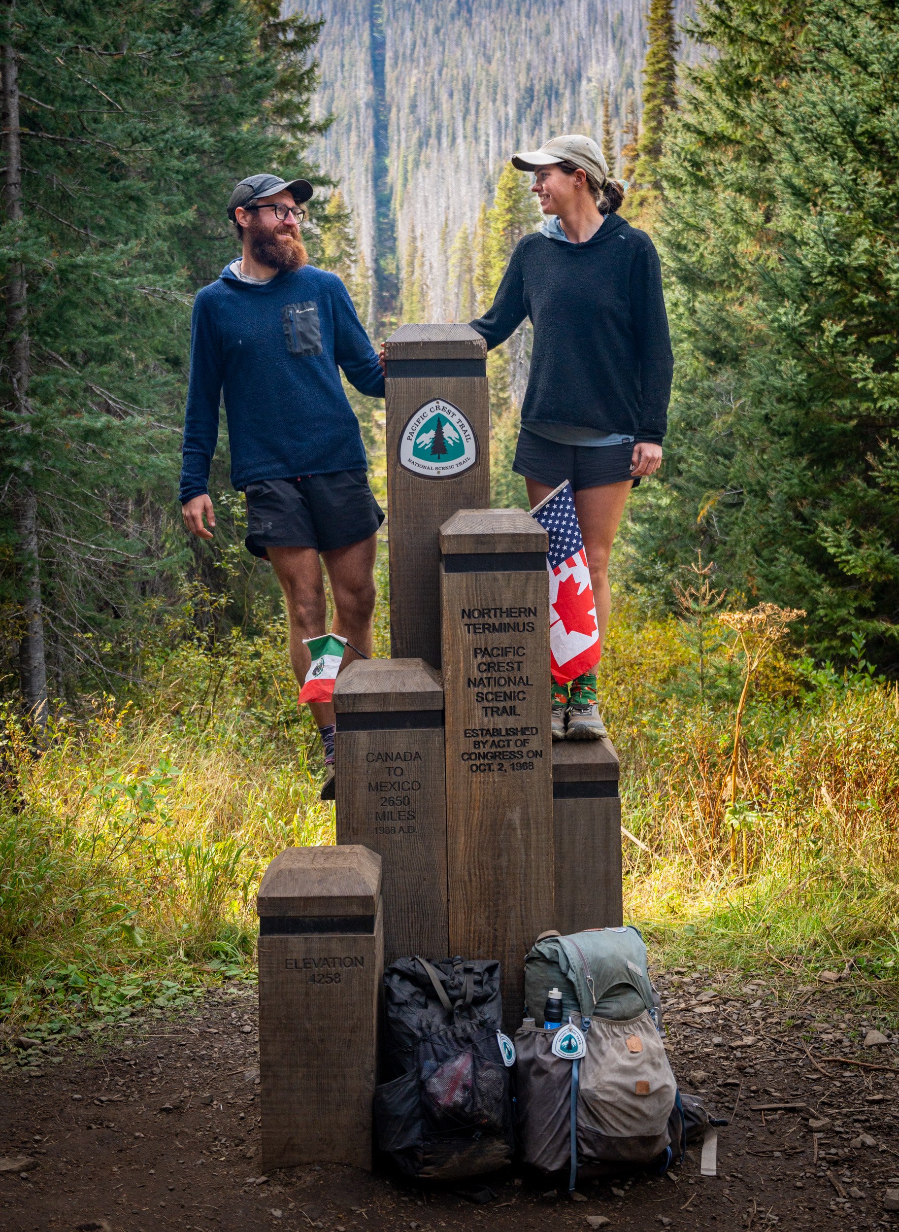
What an adventure. Every single day was amazing. We wanted to turn around right then and do it all again.

When I'm old and grey, reminiscing about better days, these will be those days.